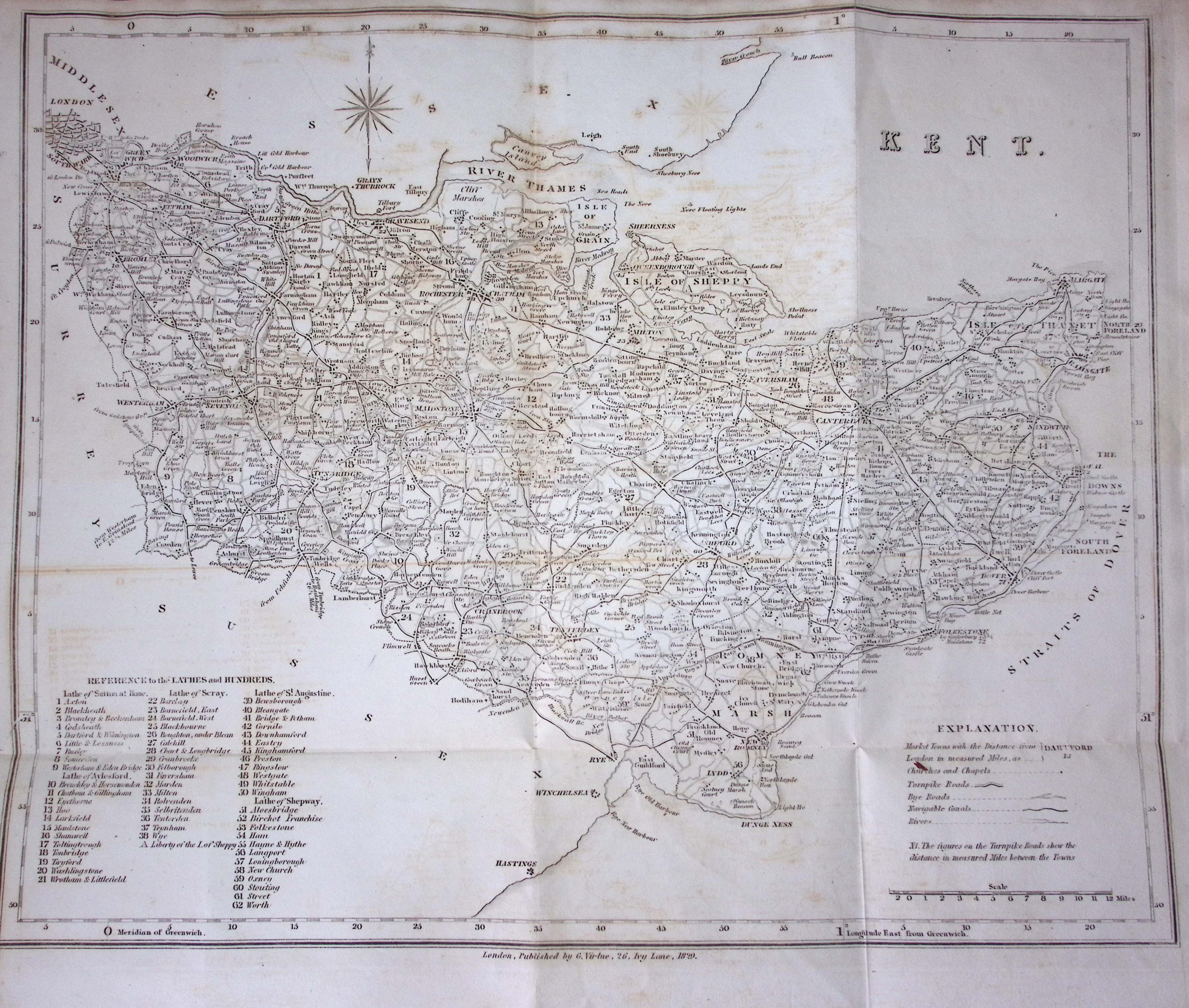
WH Ireland Large 432 x 368 (mm) 197-Year-Old Antique Map of Kent
Collectables
Bid now on this lot
Auction ends 9 Jul 2026
WH Ireland Large 432 x 368 (mm) 197-Year-Old Antique Map of Kent
This Antique Print Was Removed from a 197-Year-Old Edition of.
W. H. Ireland's Study of The History and Topography of The County of Kent.
Published 1829-1830 in The Reign King George IV.
Measures Approx 17 x 14.5 (Inches) 432 x 368 (mm).
Virtually all Antiquarian Maps and Prints are Subject to Some Normal Aging Due to Use and Time.
Age-Related Foxing, Staining, Marks, Discolouration, Spotting, Creasing Tears Little Rips Etc.
Please Check Images for Condition & Content before Placing Your Bid.
More Collectables you can bid on now
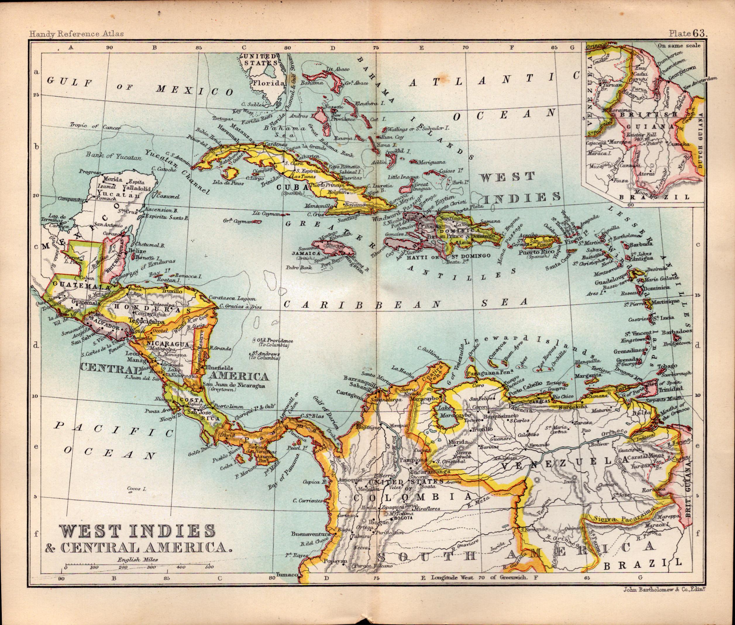
West Indies & Central America Double Sided Victorian Antique 1896 Map.
Bidding now

USA Southern States Double Sided Victorian Antique 1896 Map.
Bidding now
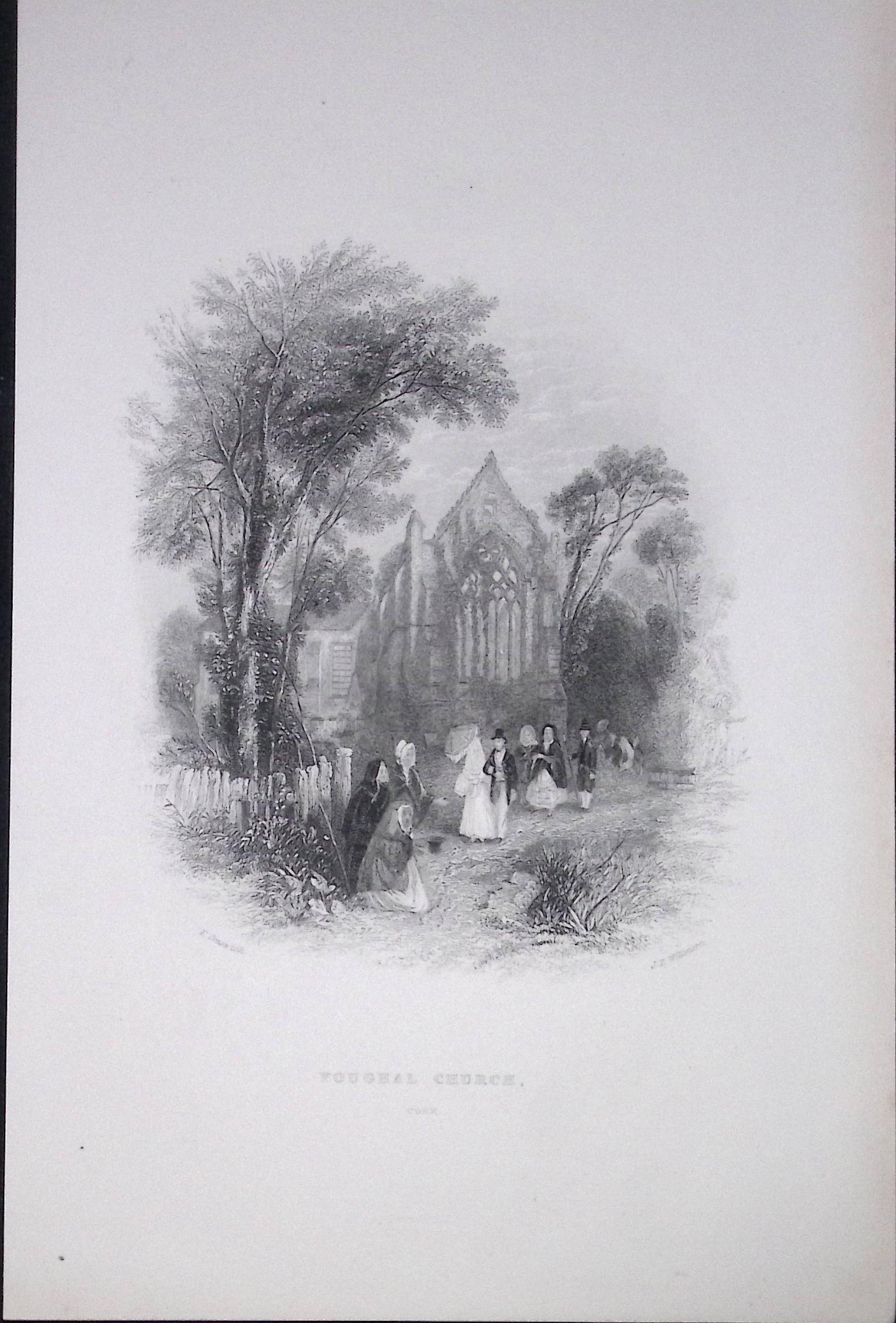
Ireland Youghal Church Cork Antique 183 Years-Old Steel-Engraving-
Bidding now
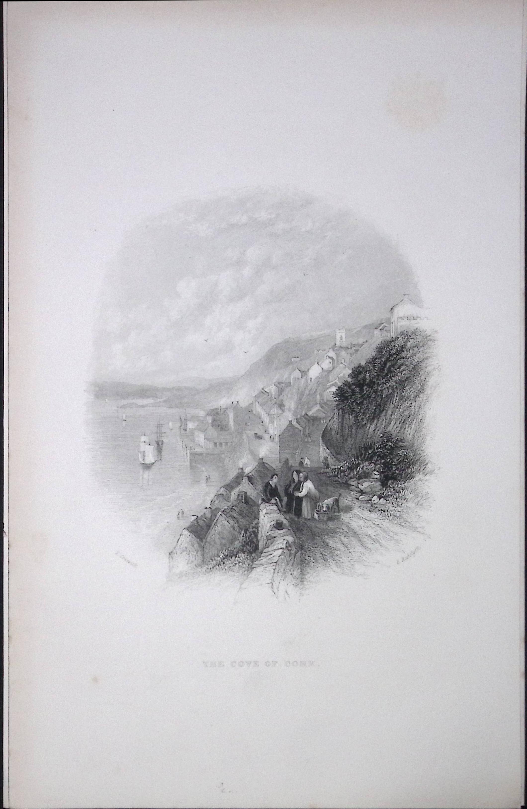
Ireland View of The Cove of Cork Antique 183 Years-Old Steel-Engraving-7
Bidding now
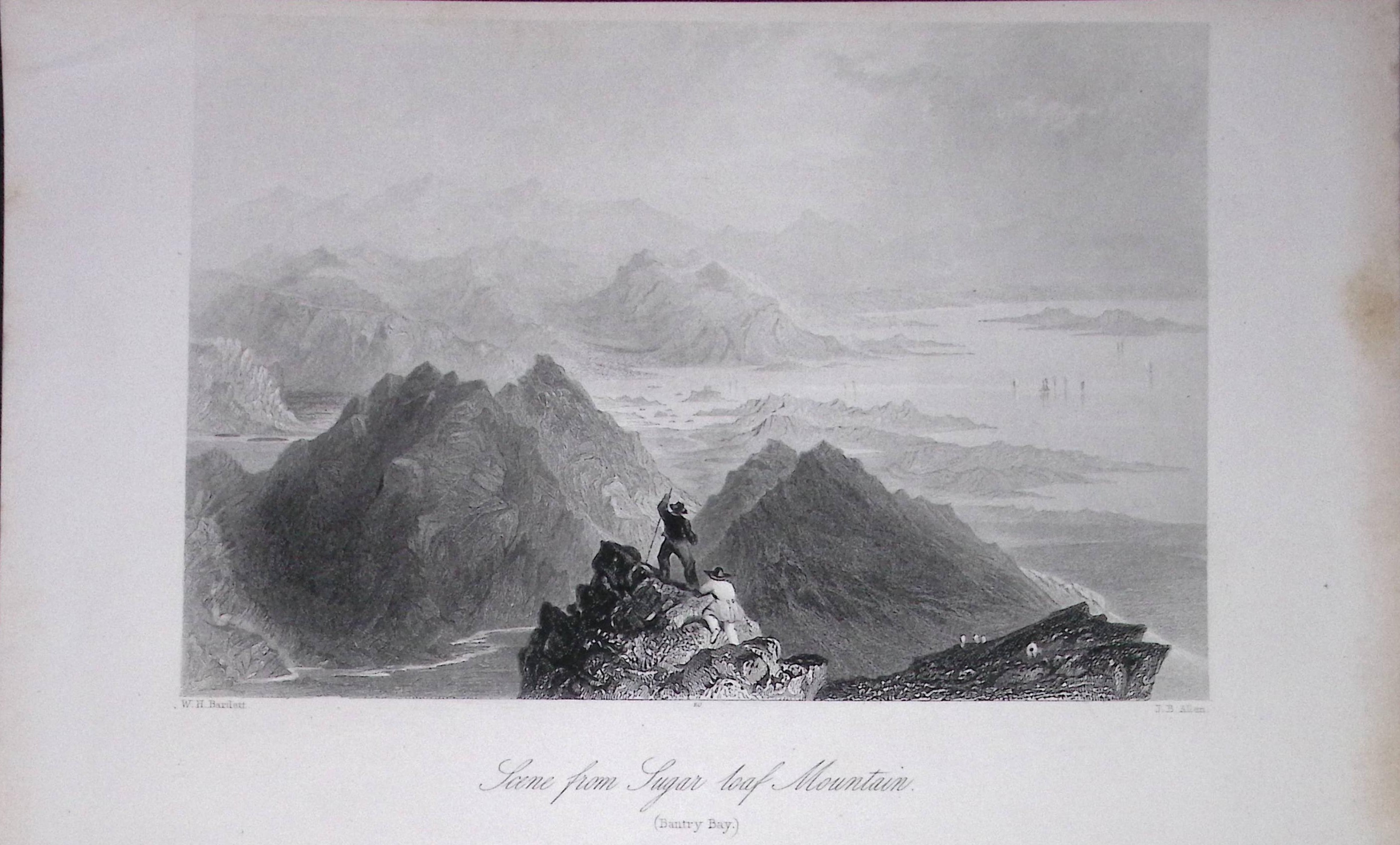
Ireland View of Sugar Loaf Mountain Cork Antique 183 Years-Old Steel-Engraving-5.
Bidding now
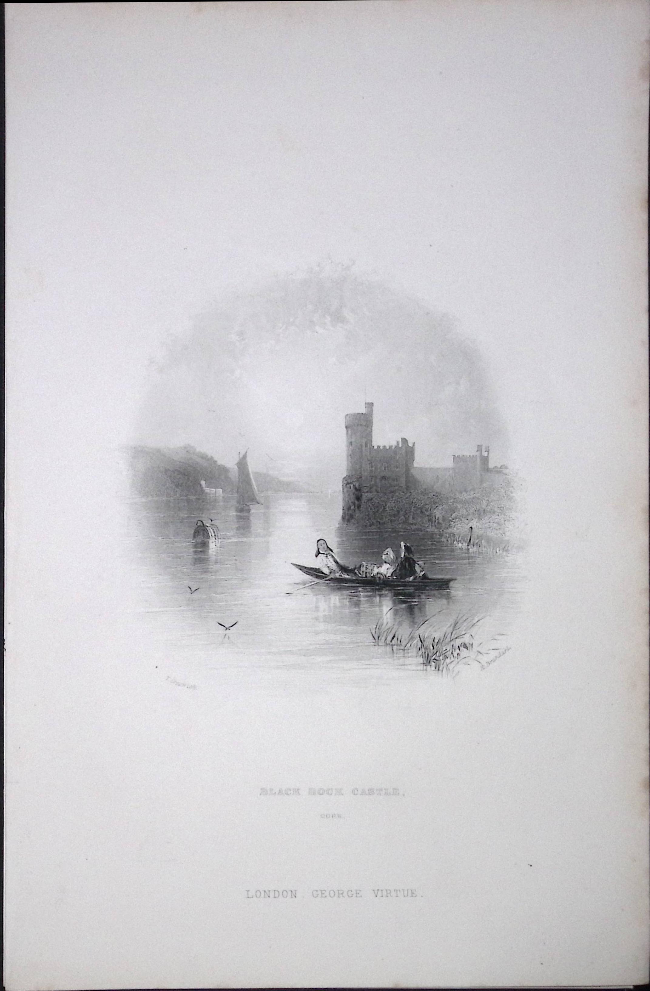
Ireland Black Rock Castle Cork Antique 183 Years-Old Steel-Engraving-8.
Bidding now
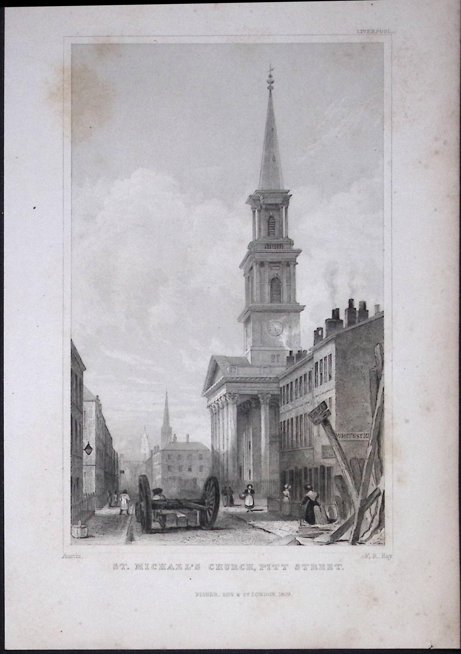
Liverpool St Michaels Church Pitt St Antique 195 Years-Old Steel-Engraving-62
Bidding now
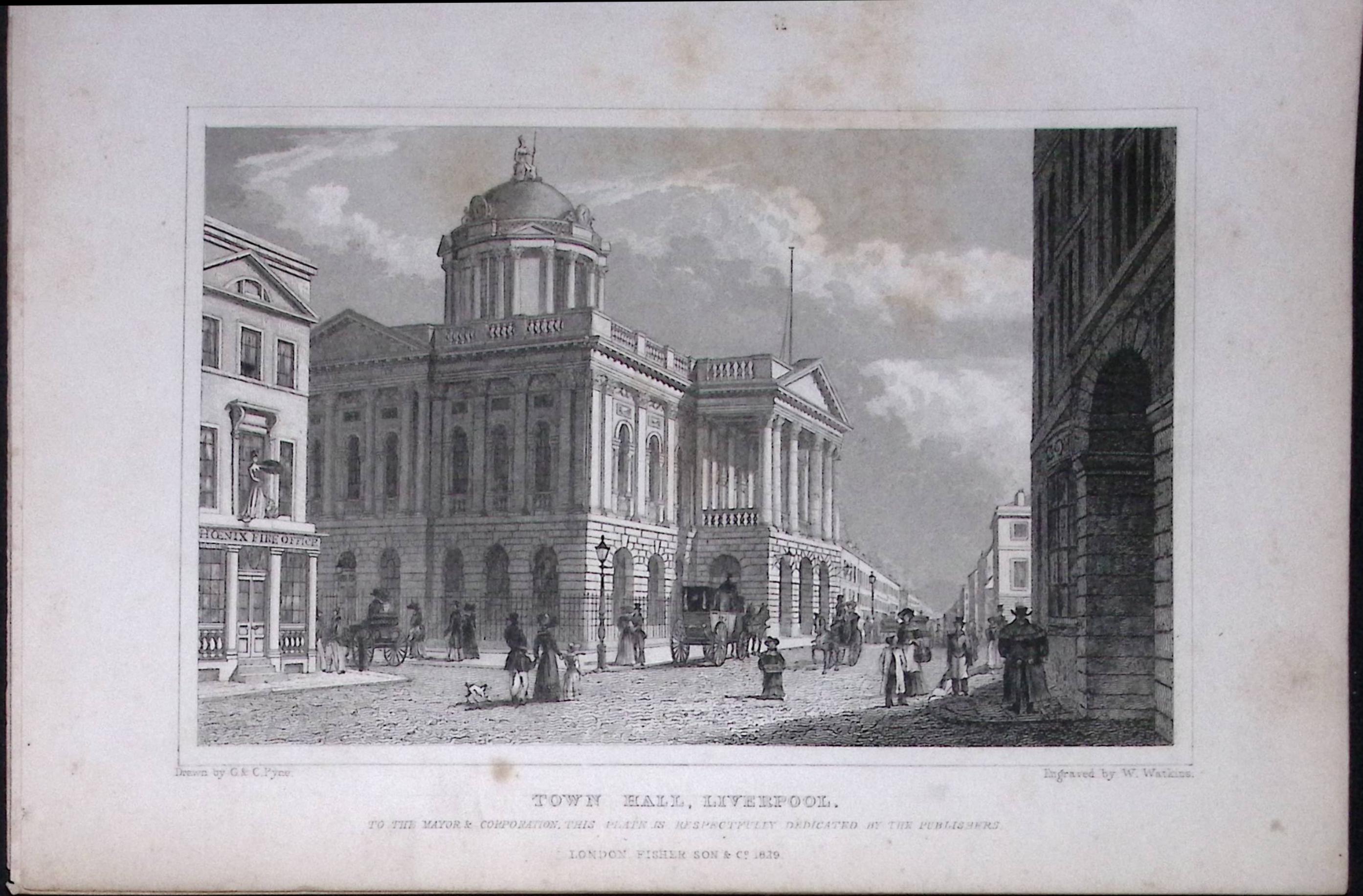
Liverpool Town Hall Antique 195 Years-Old Steel-Engraving-28
Bidding now