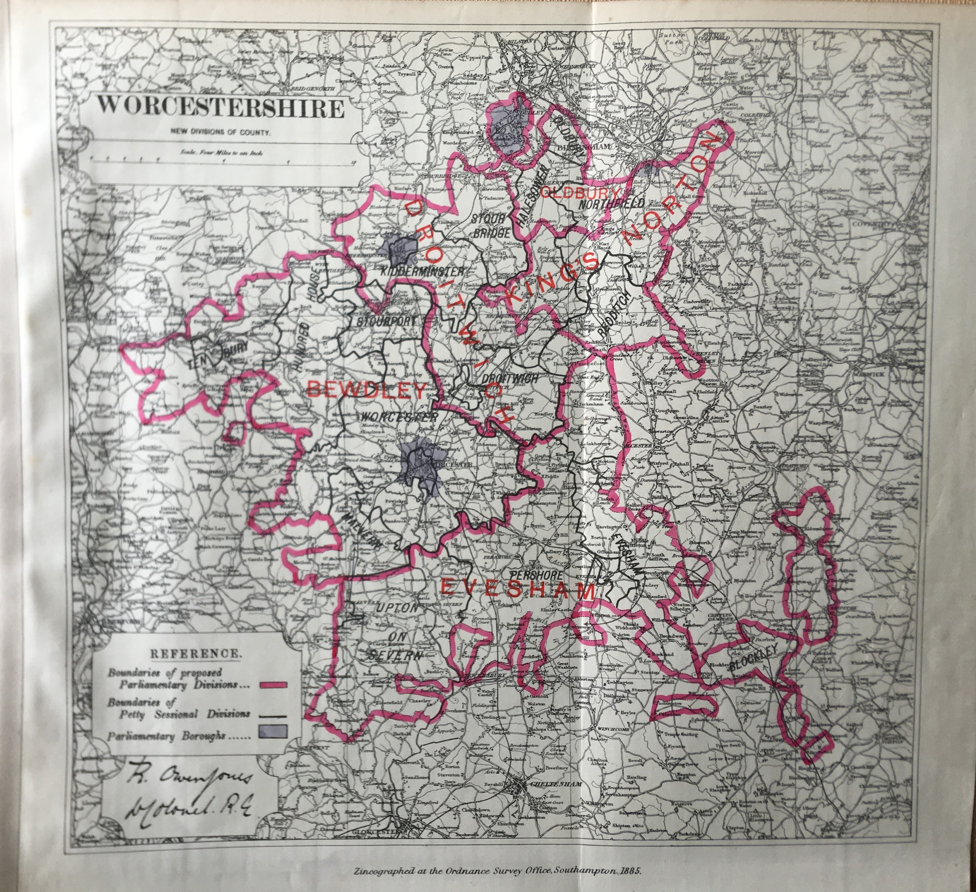
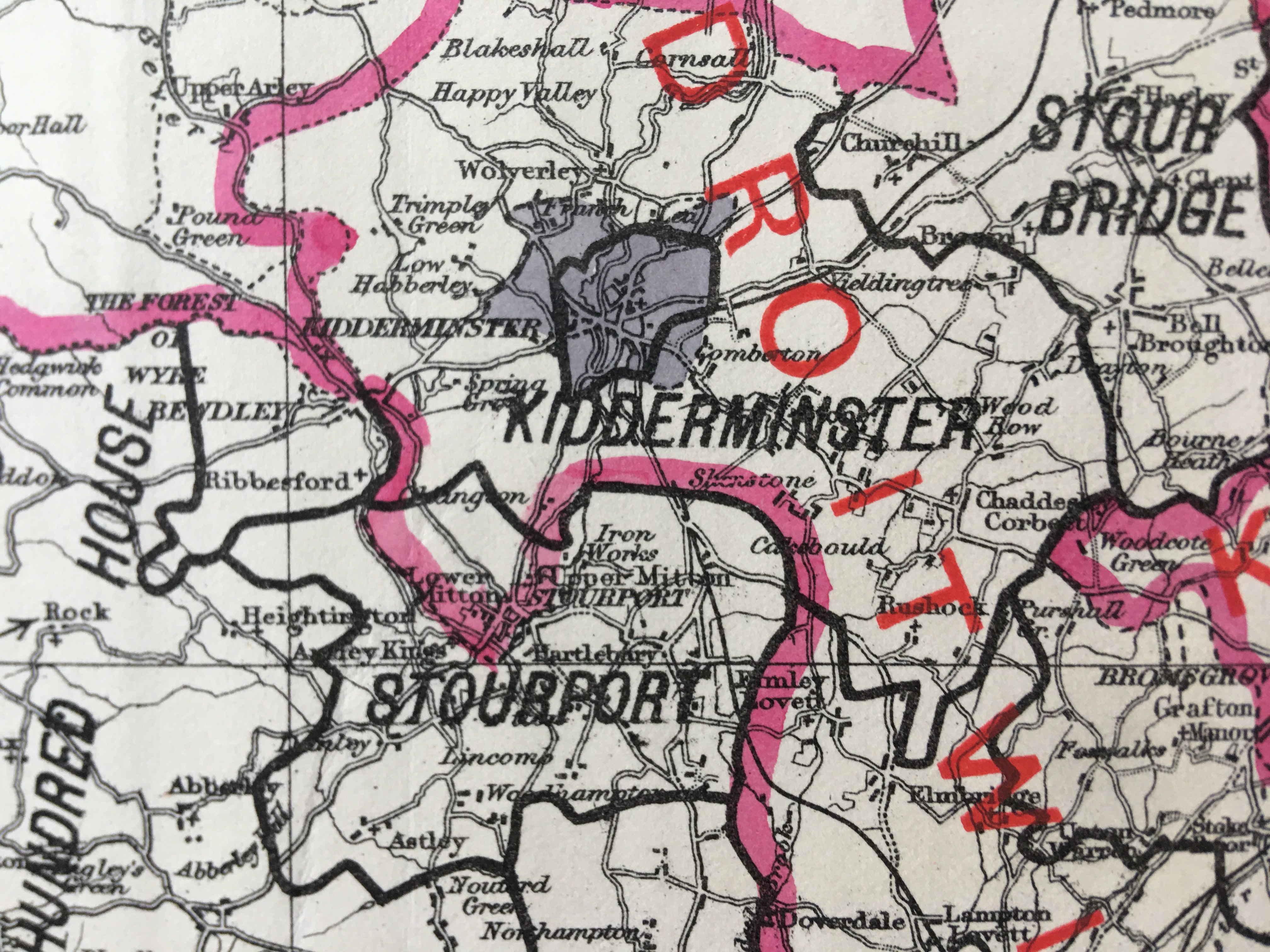
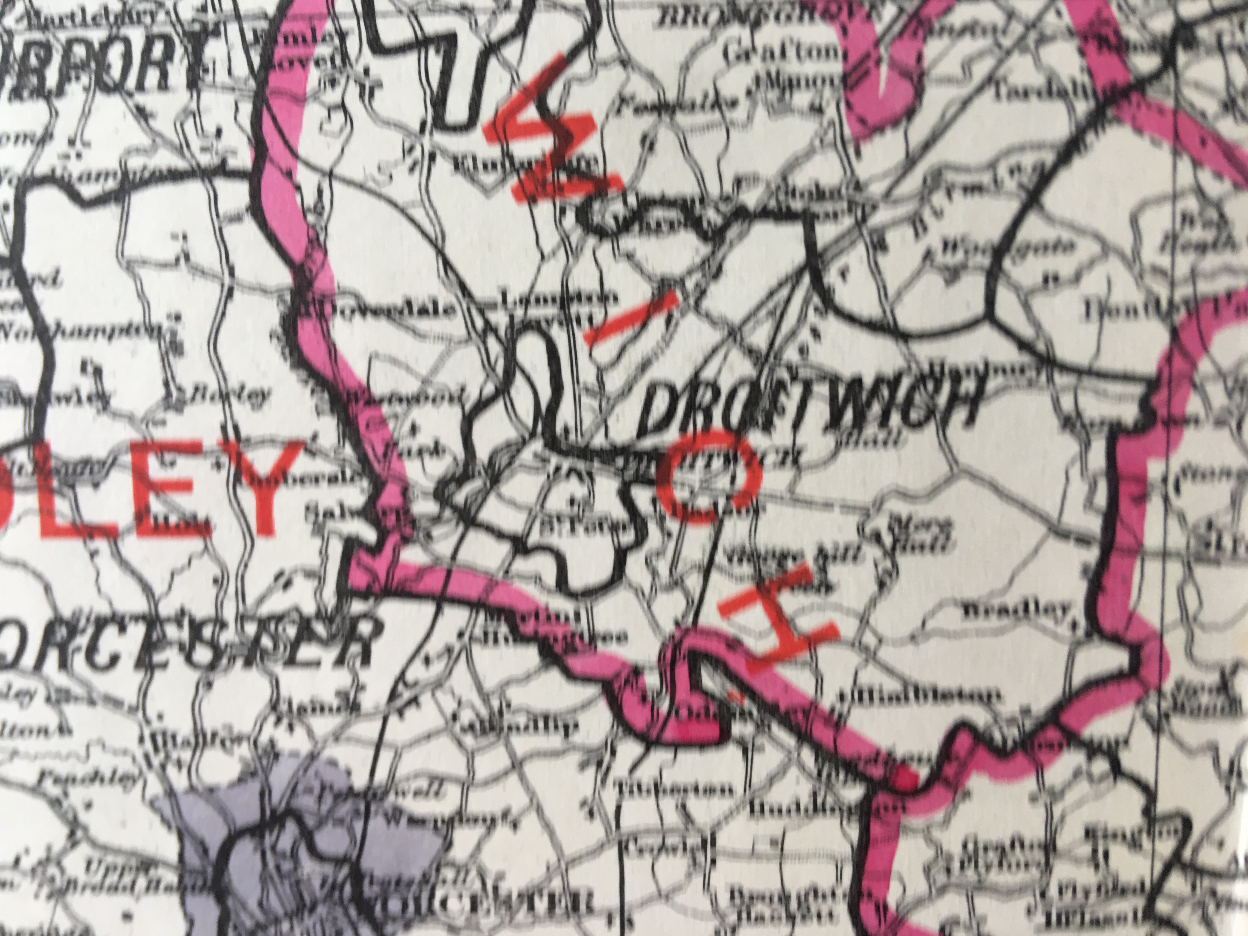
Antique 139 Years-Old Scarce Map Worcestershire 1885 Boundary Changes.
Collectables
Bid now on this lot
Auction ends 9 Jul 2026
Antique 139 Years-Old Scarce Map Worcestershire 1885 Boundary Changes.
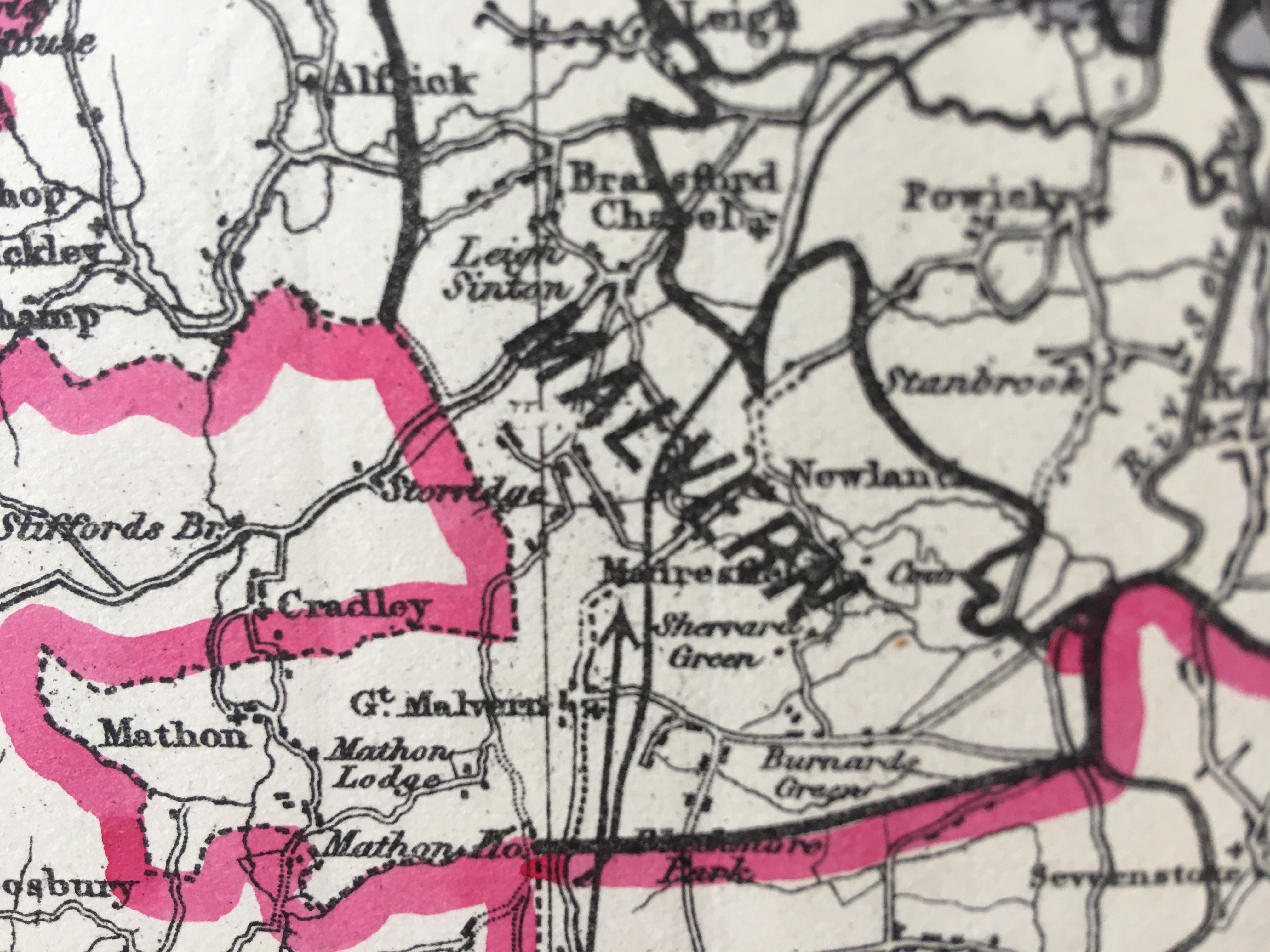
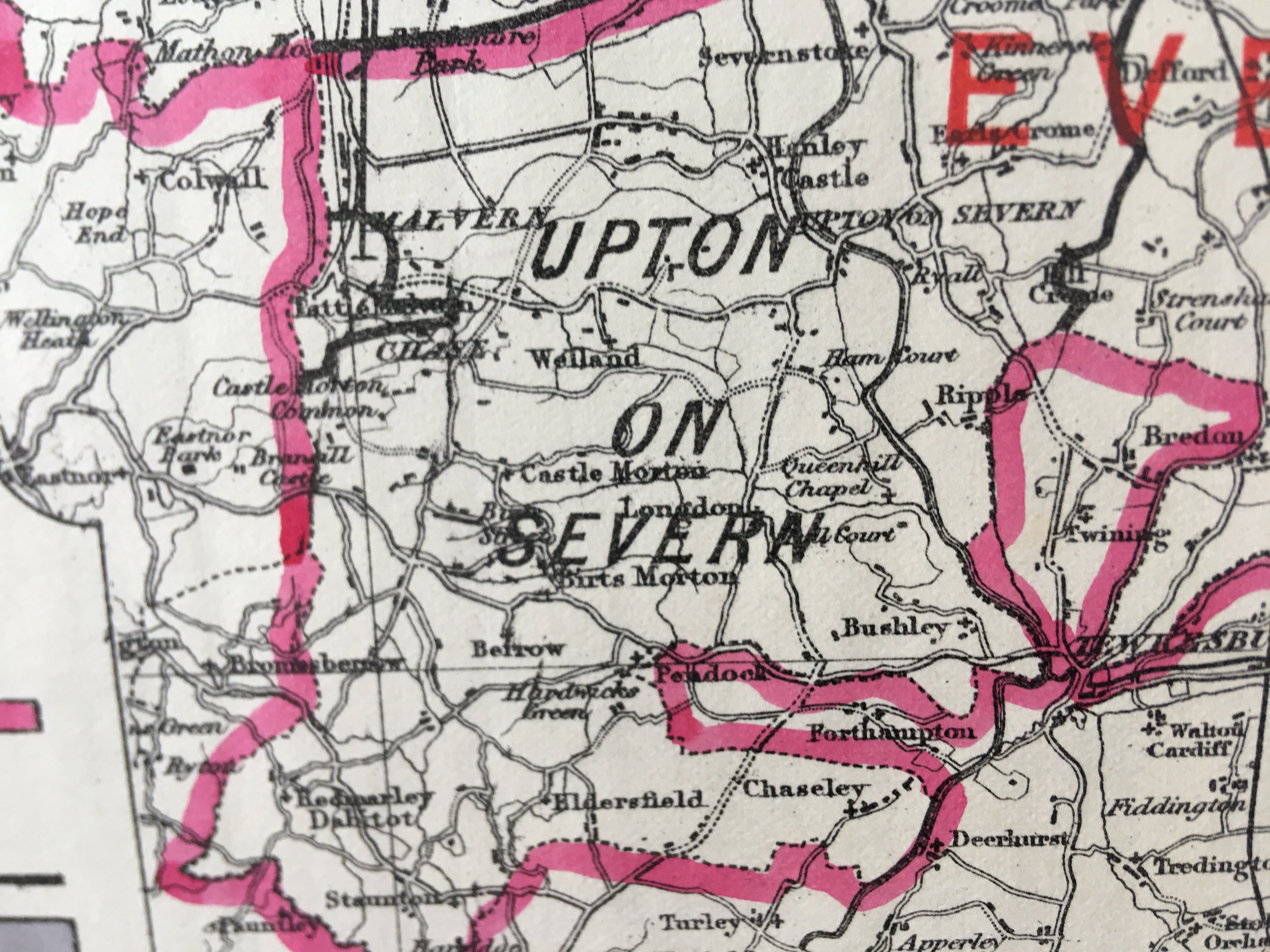
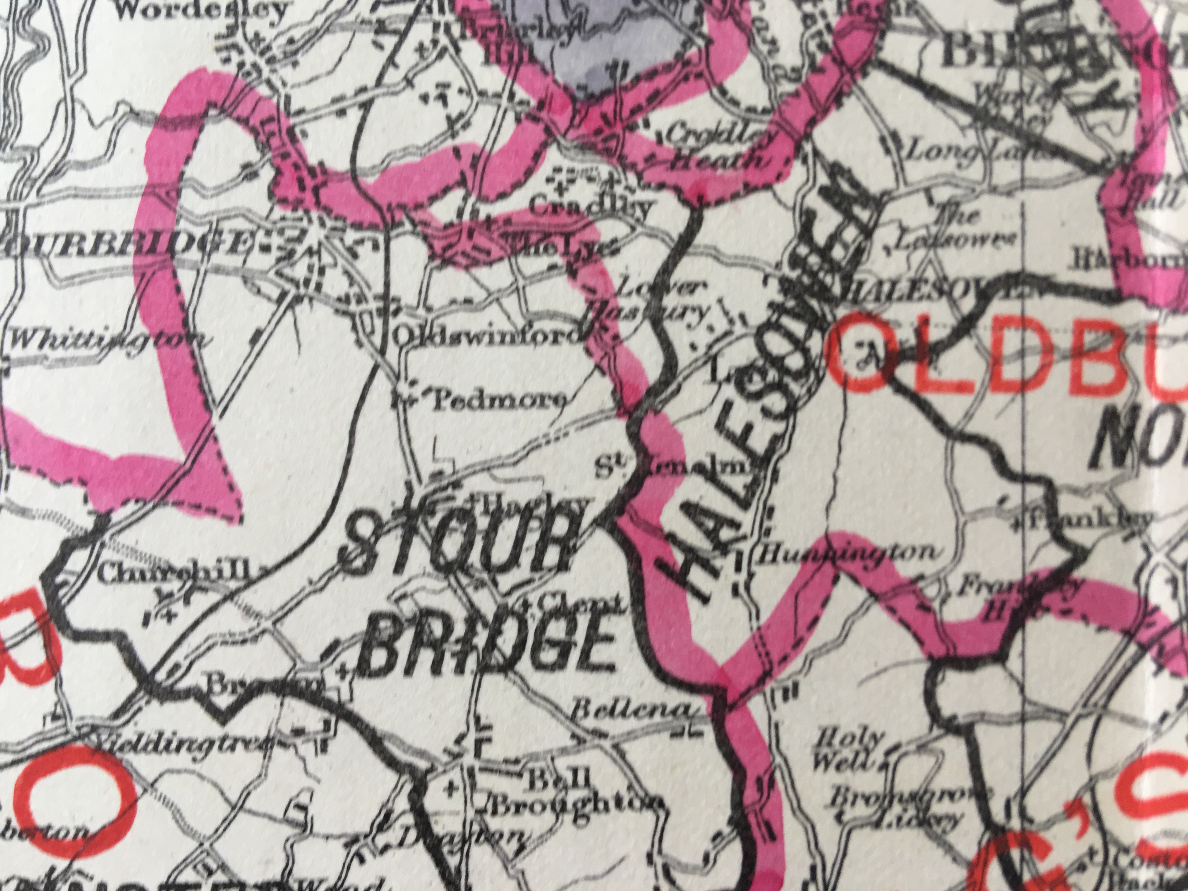
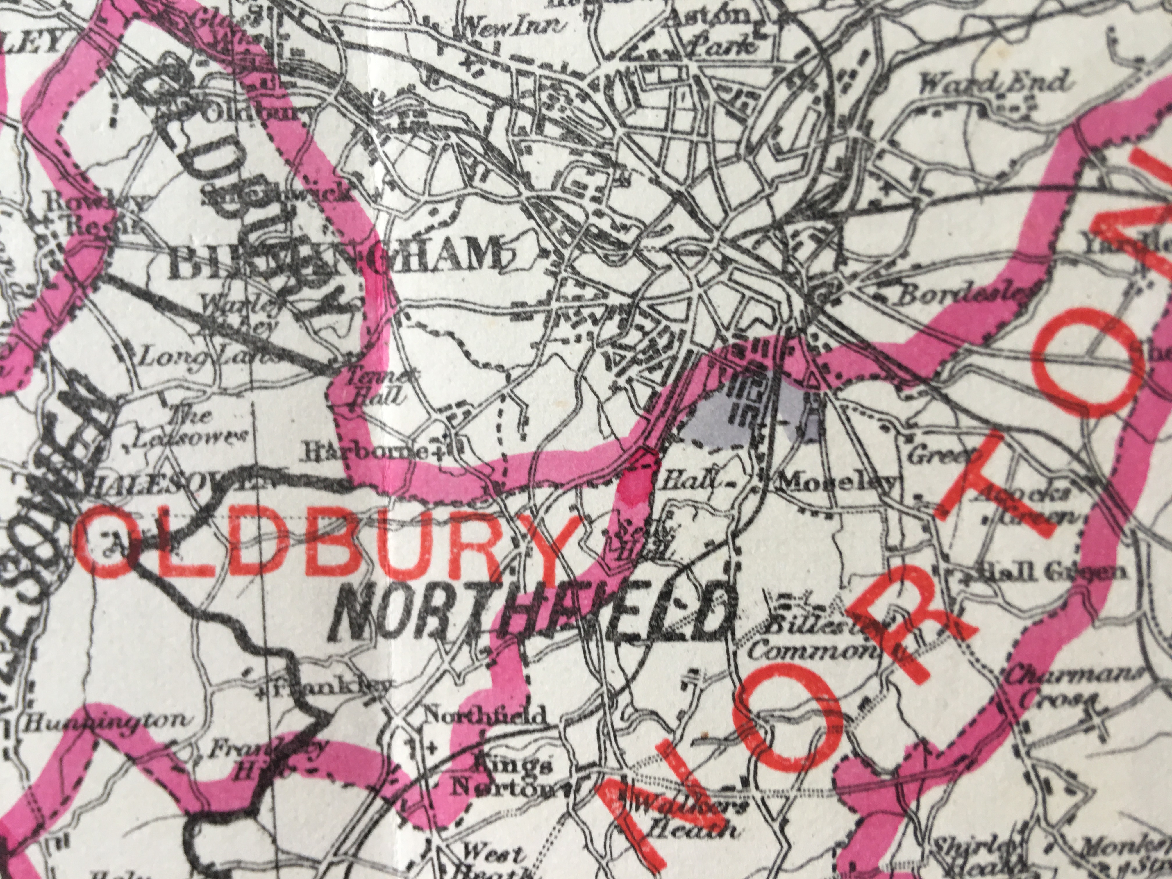
Zincographed Ordnance Survey Map Produced by Colonel R. Owen Jones, Royal Engineers.
Report of the Boundary Commissioners Printed by Eyre and Spottiswoode 1885.
Measures Approx 15.5” x 14” (Inches) 39.37 x 35.56 (cm) Please Note That This Is a Folding Map.
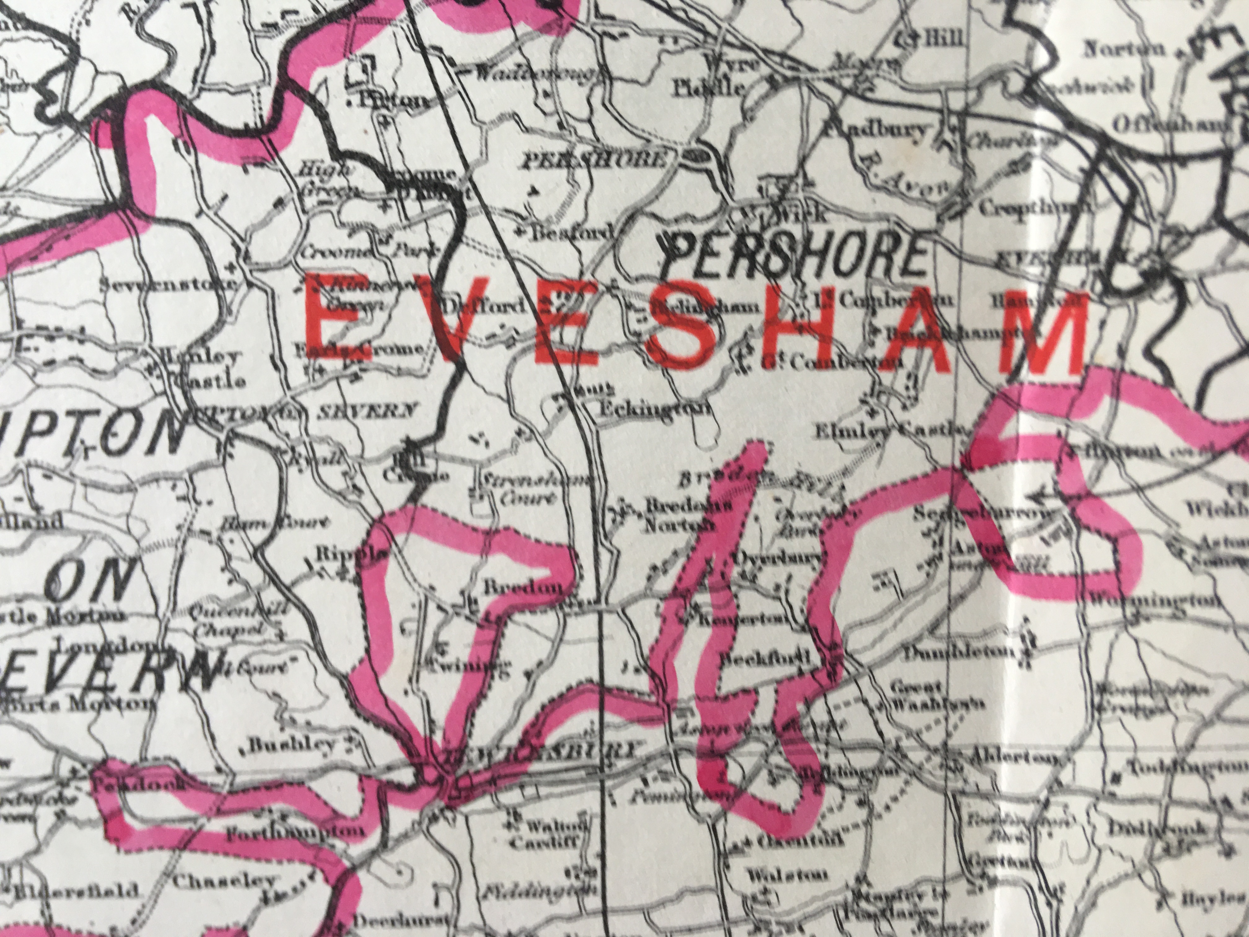
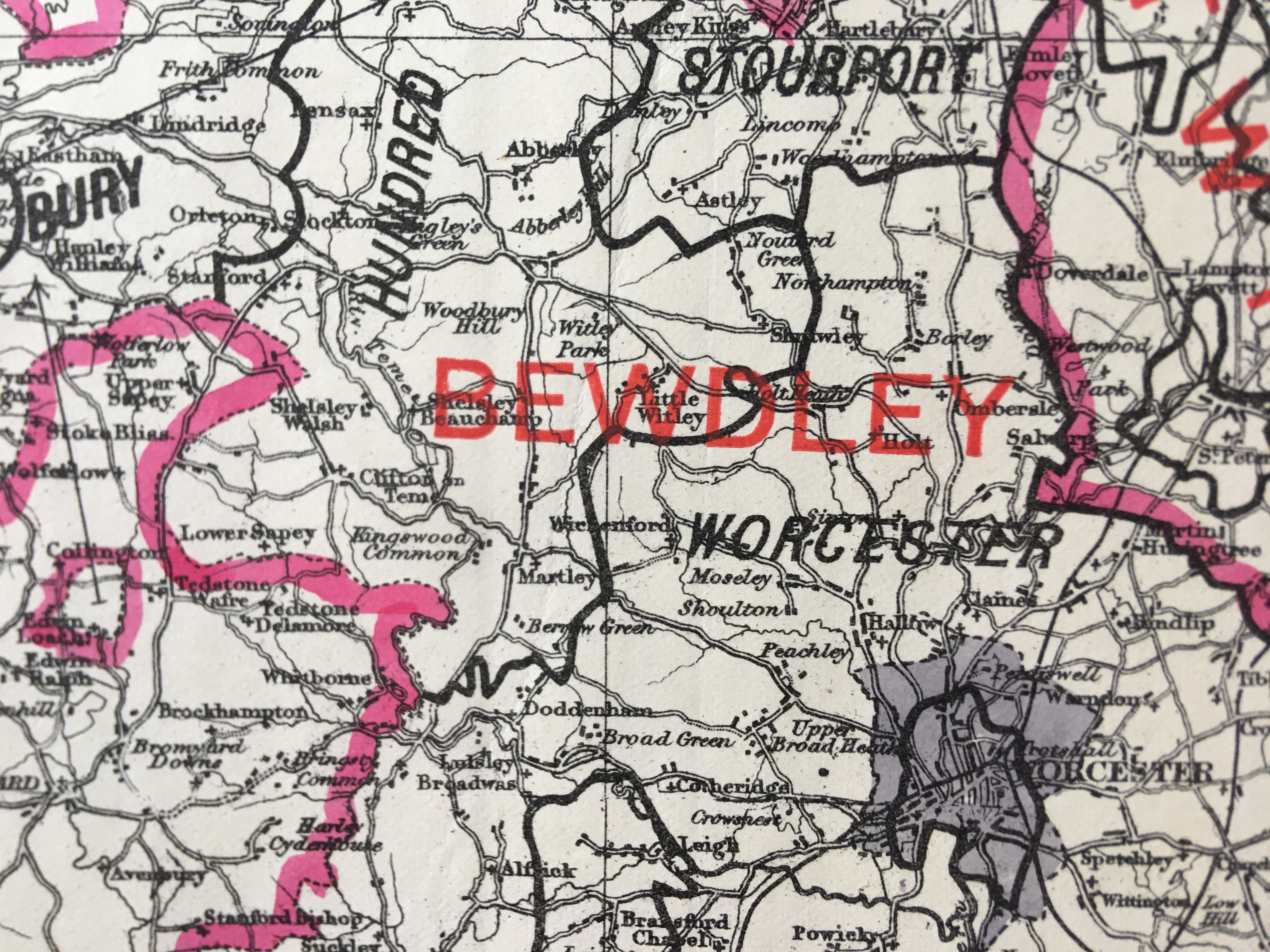
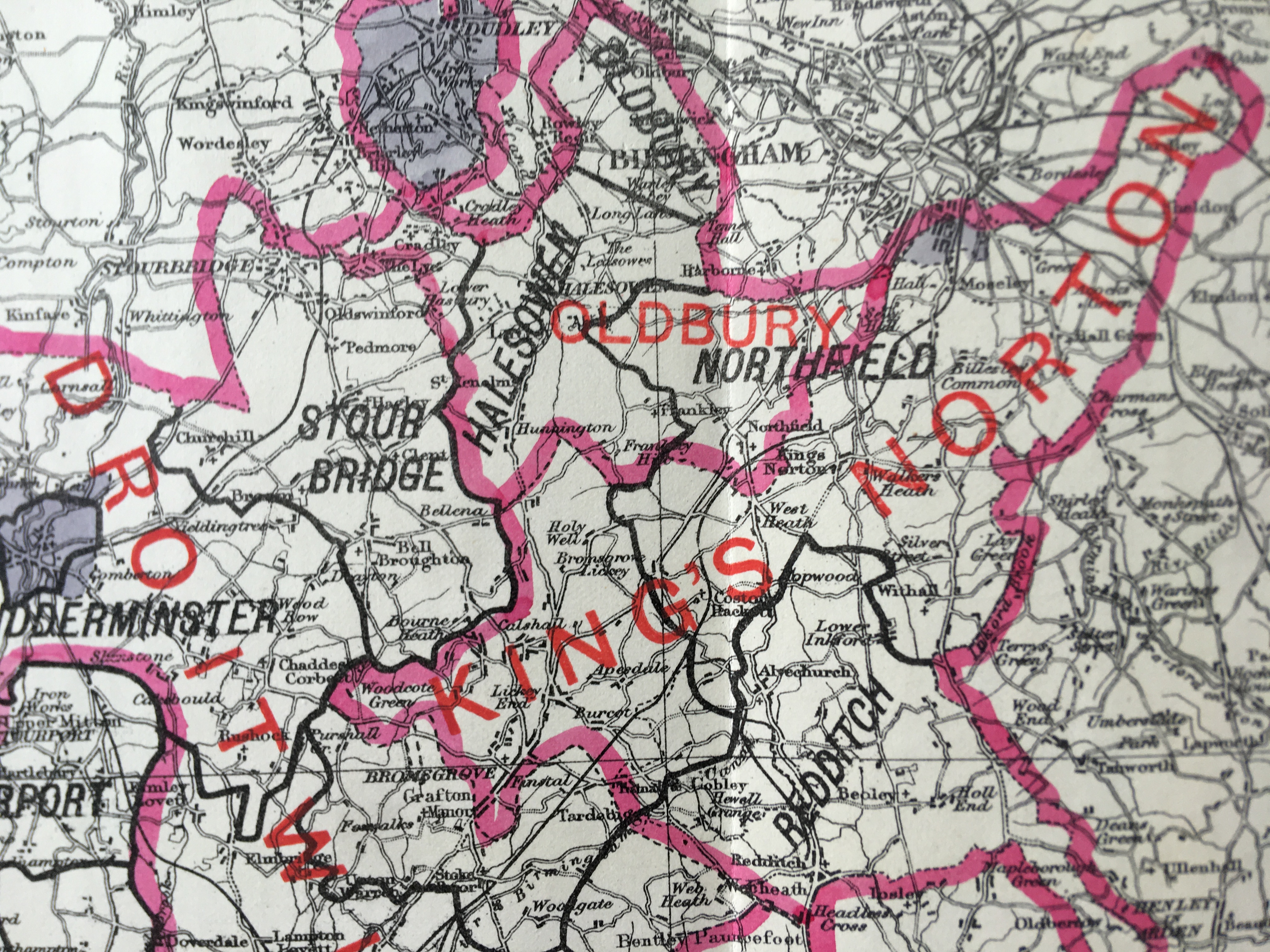
This Map Was Prepared in 1885 For the Boundary Commission Report to Show The Current And Any Proposed Changes To The Parliamentary Divisions and Boroughs.
Virtually all Antiquarian Maps & Prints are Subject to Some.
Age-Related Wear, Marks, Discolouration, Spotting, Creasing Tears Little Rips Etc.
Please Study the Image to Establish Contents & Condition Prior to Bidding.
This Antique Print Would Look Great Framed & Mounted.
More Collectables you can bid on now
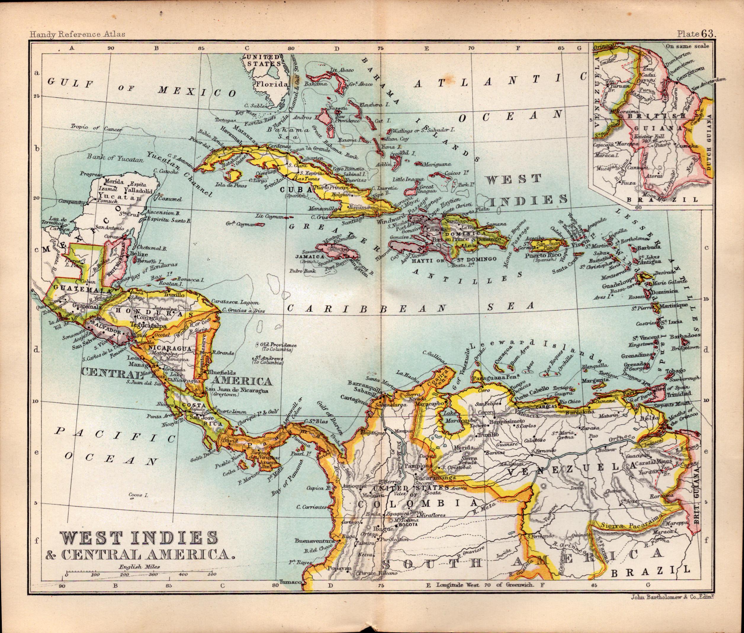
West Indies & Central America Double Sided Victorian Antique 1896 Map.
Bidding now

USA Southern States Double Sided Victorian Antique 1896 Map.
Bidding now
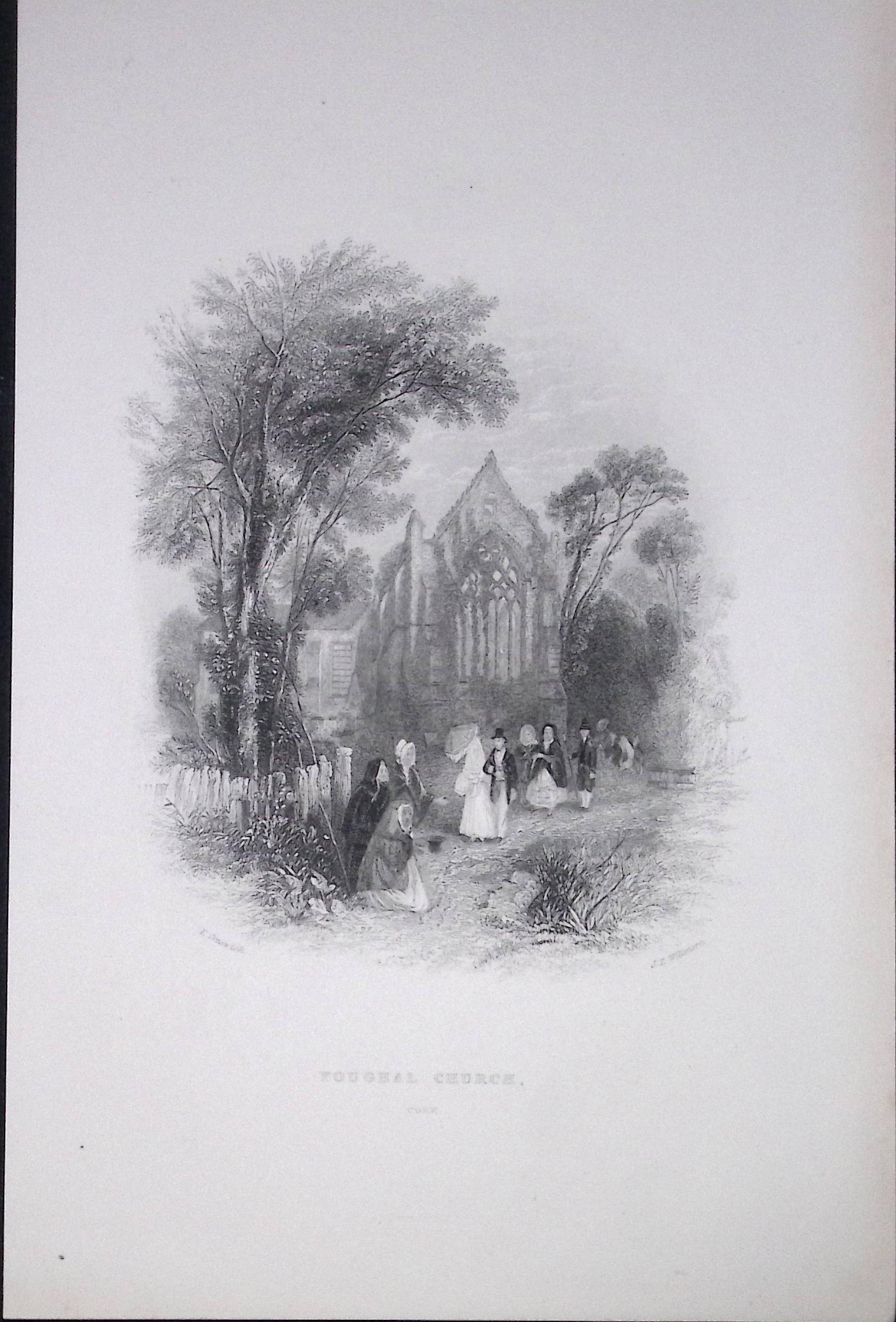
Ireland Youghal Church Cork Antique 183 Years-Old Steel-Engraving-
Bidding now
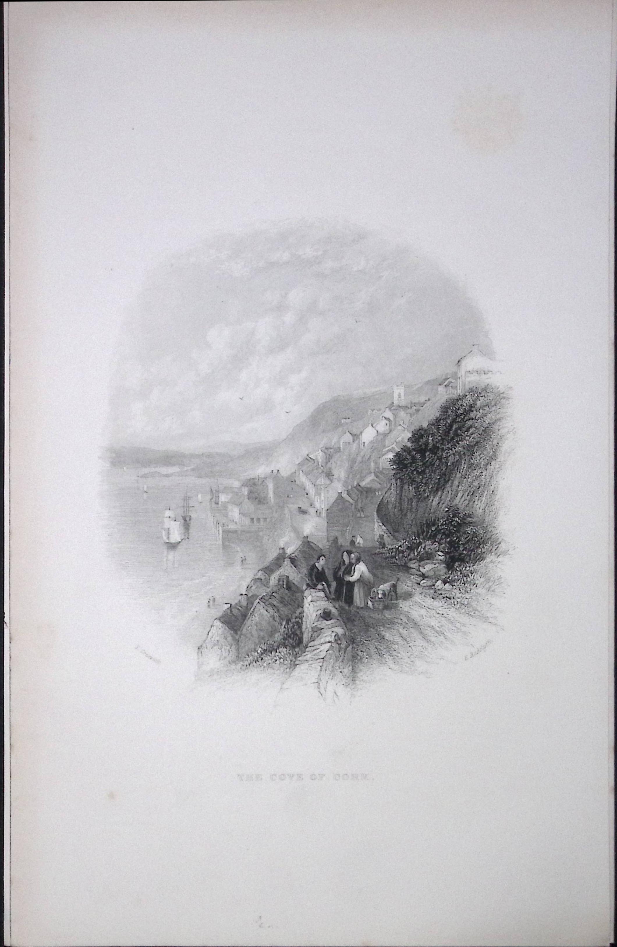
Ireland View of The Cove of Cork Antique 183 Years-Old Steel-Engraving-7
Bidding now
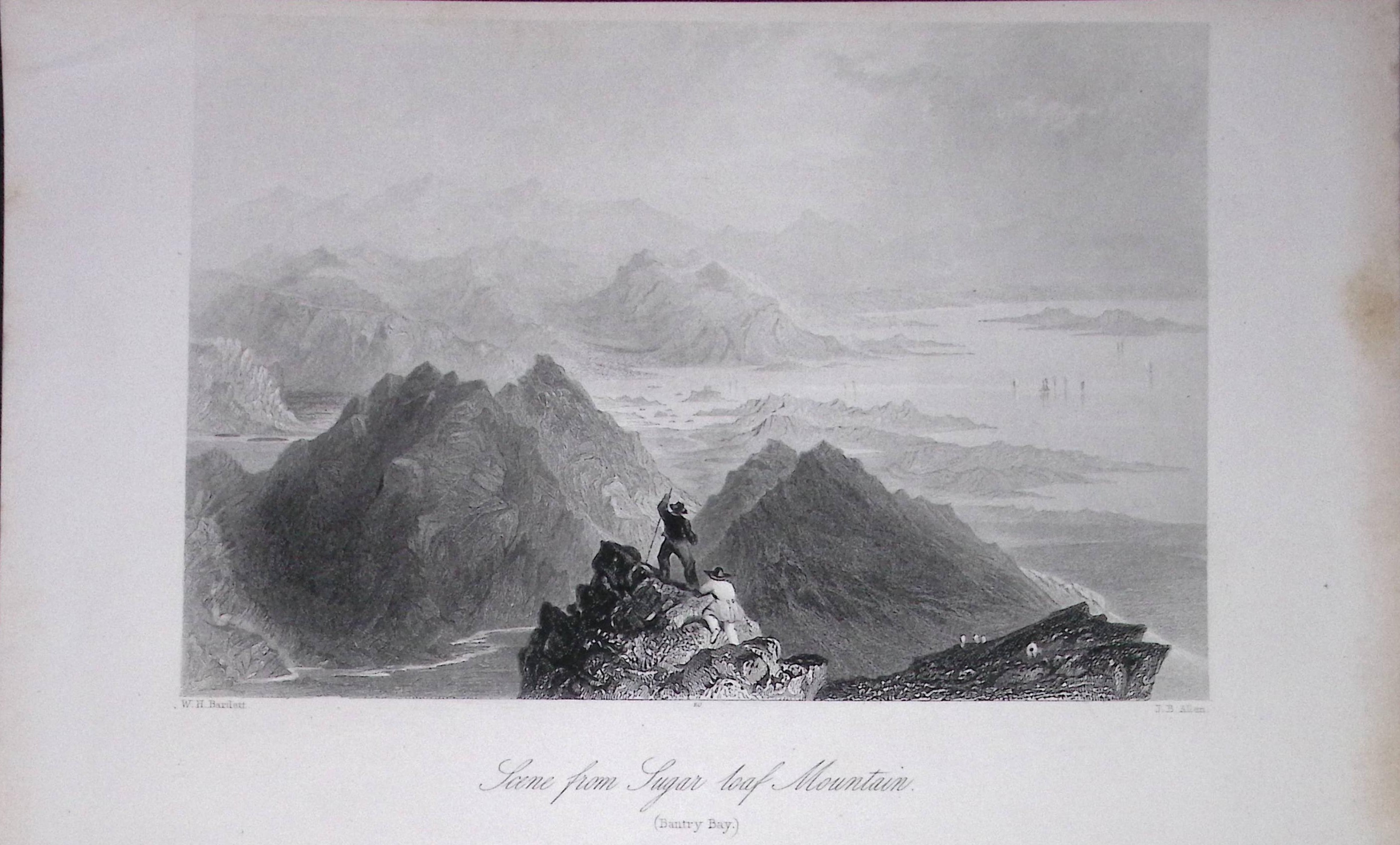
Ireland View of Sugar Loaf Mountain Cork Antique 183 Years-Old Steel-Engraving-5.
Bidding now
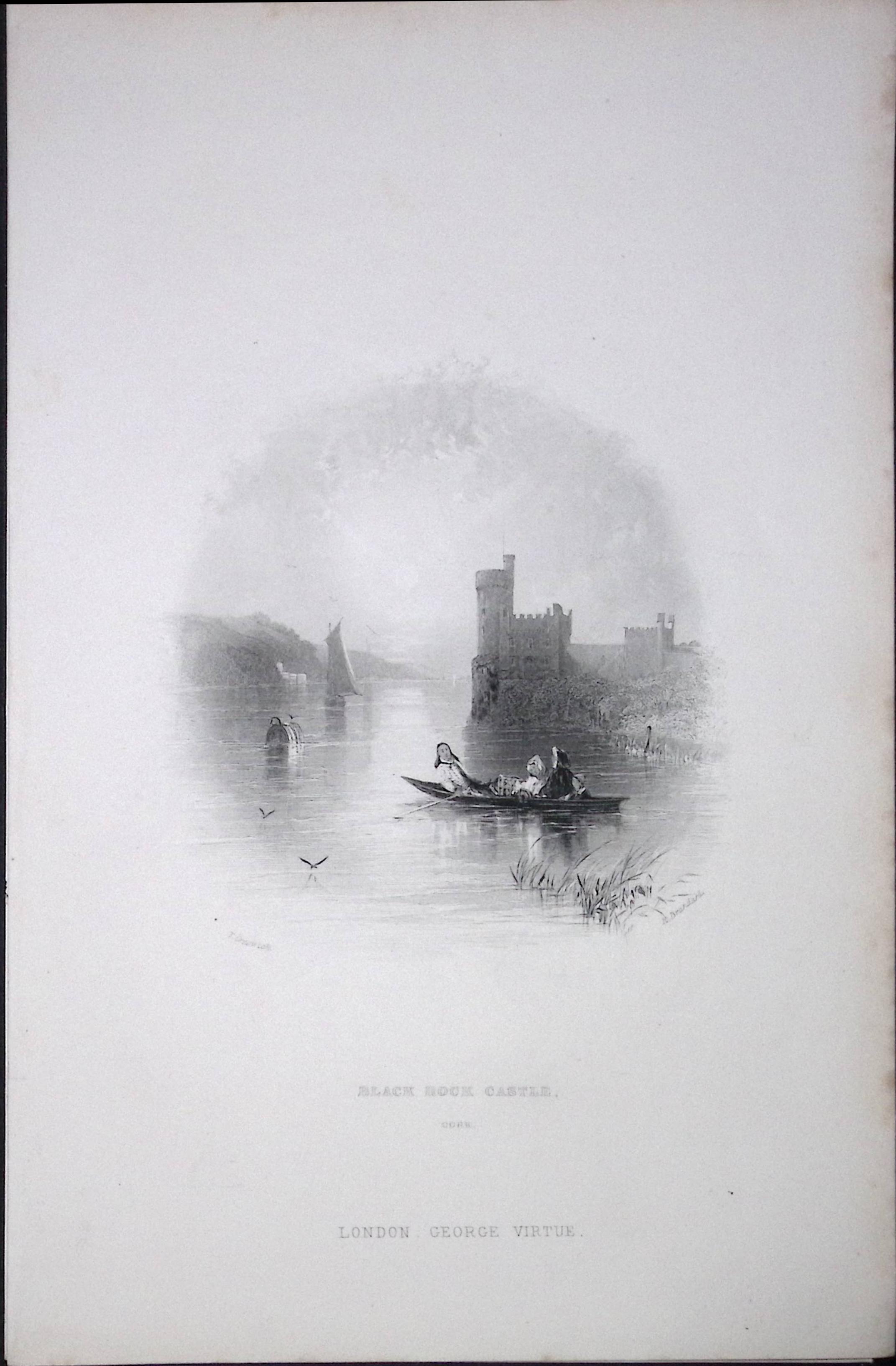
Ireland Black Rock Castle Cork Antique 183 Years-Old Steel-Engraving-8.
Bidding now
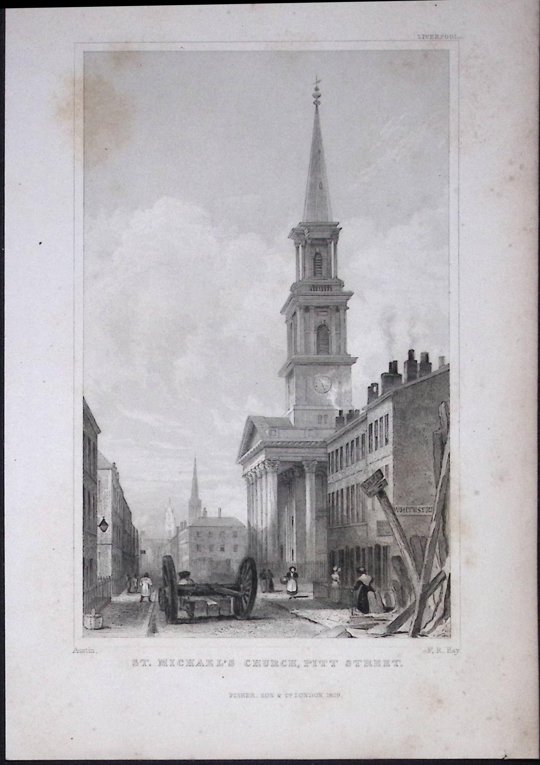
Liverpool St Michaels Church Pitt St Antique 195 Years-Old Steel-Engraving-62
Bidding now
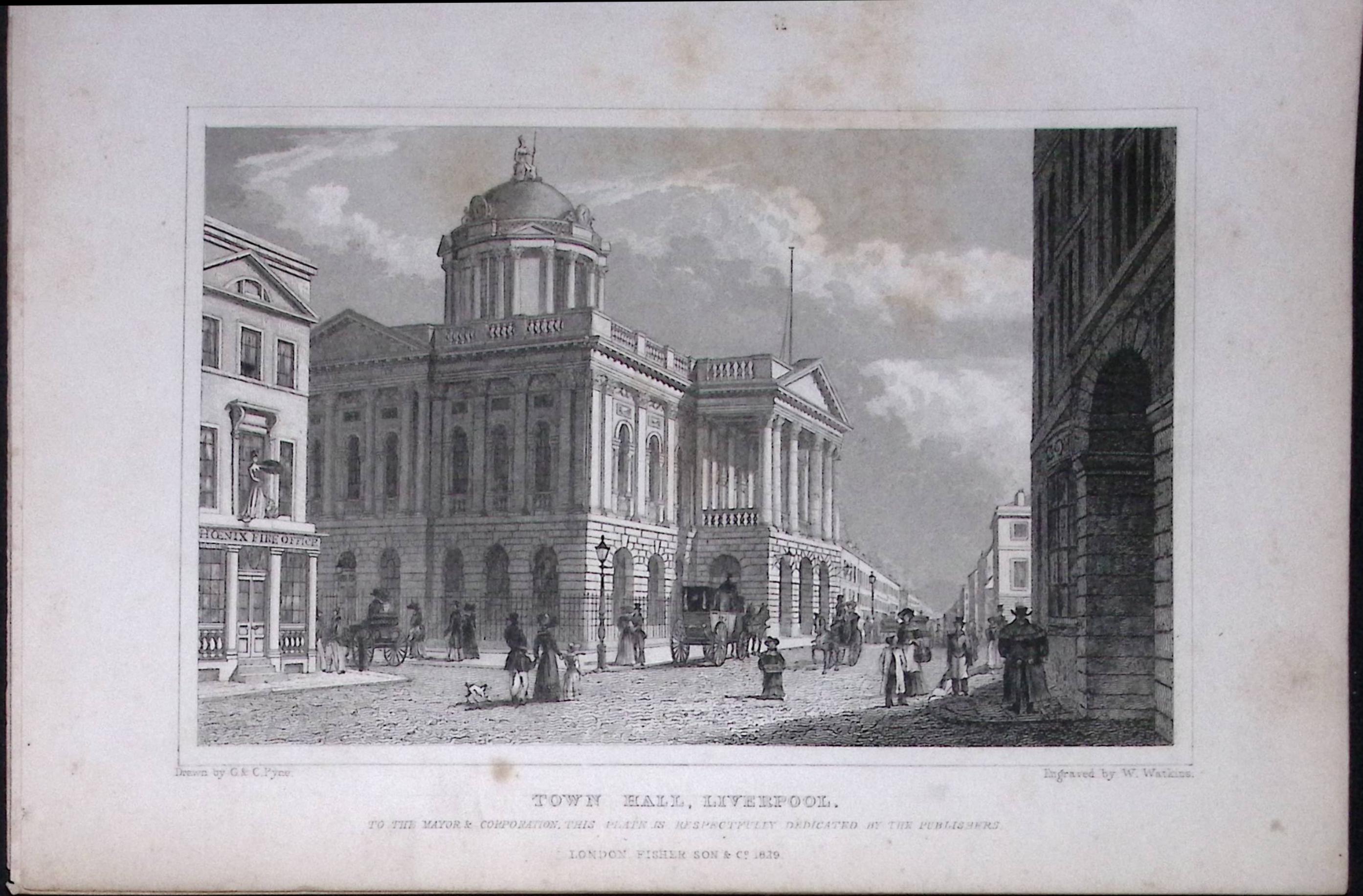
Liverpool Town Hall Antique 195 Years-Old Steel-Engraving-28
Bidding now