Kingston Upon Hull Boundary Commission 157-Year-Old Coloured Antique Map.
Collectables
Sold for
£16.00
Sold 30 Jan 2025 · No Reserve Antique Maps, Prints & Metal Wall Art | British Boundary Maps 1868, Audubon Birds of America Prints, Antique Maps WW1, Bowen, Cary, Bacon, Plus Lots More
This lot has ended. See current lots below.
More Collectables you can bid on now
West Indies & Central America Double Sided Victorian Antique 1896 Map.
Bidding now

USA Southern States Double Sided Victorian Antique 1896 Map.
Bidding now
Ireland Youghal Church Cork Antique 183 Years-Old Steel-Engraving-
Bidding now
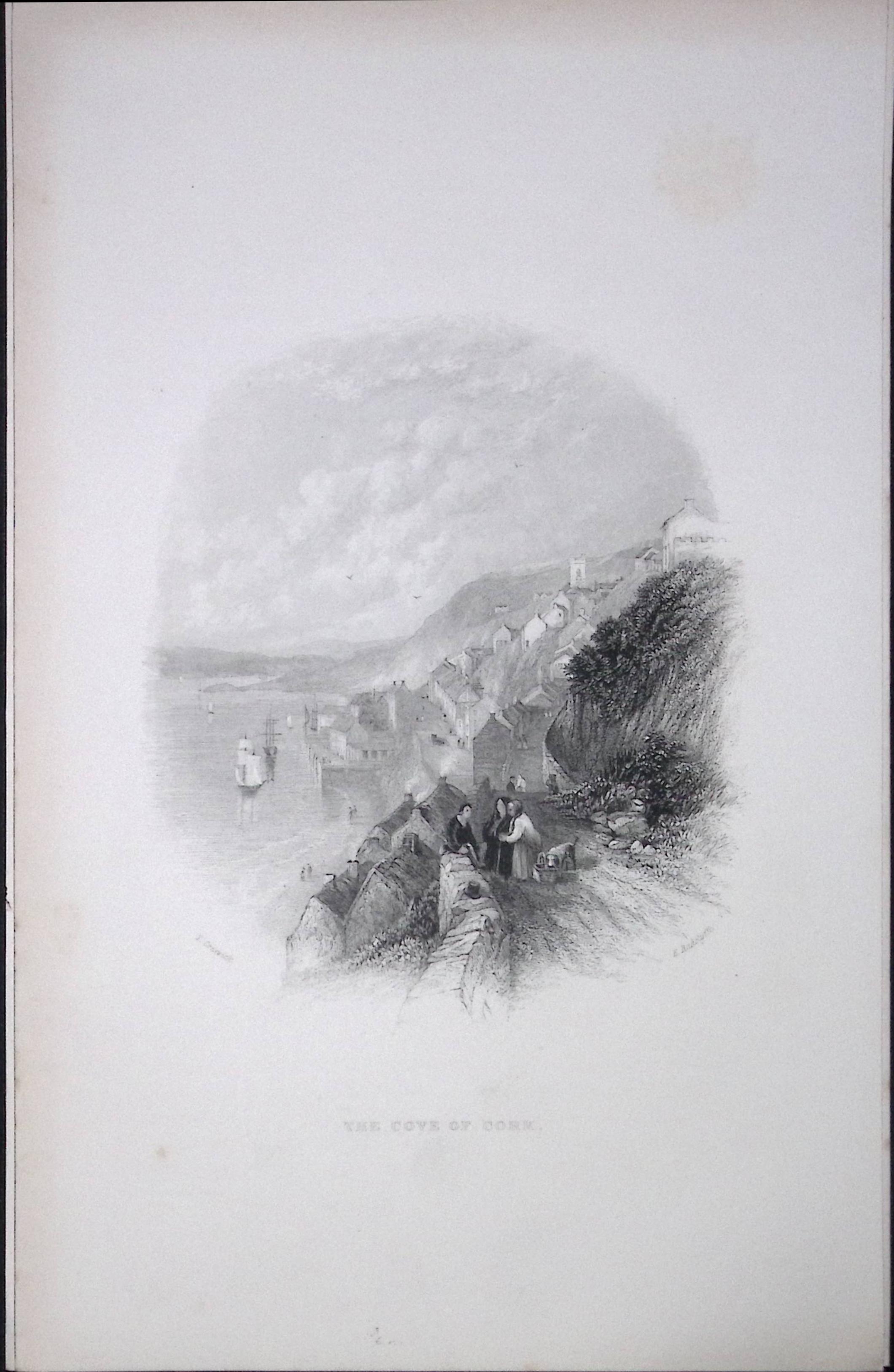
Ireland View of The Cove of Cork Antique 183 Years-Old Steel-Engraving-7
Bidding now
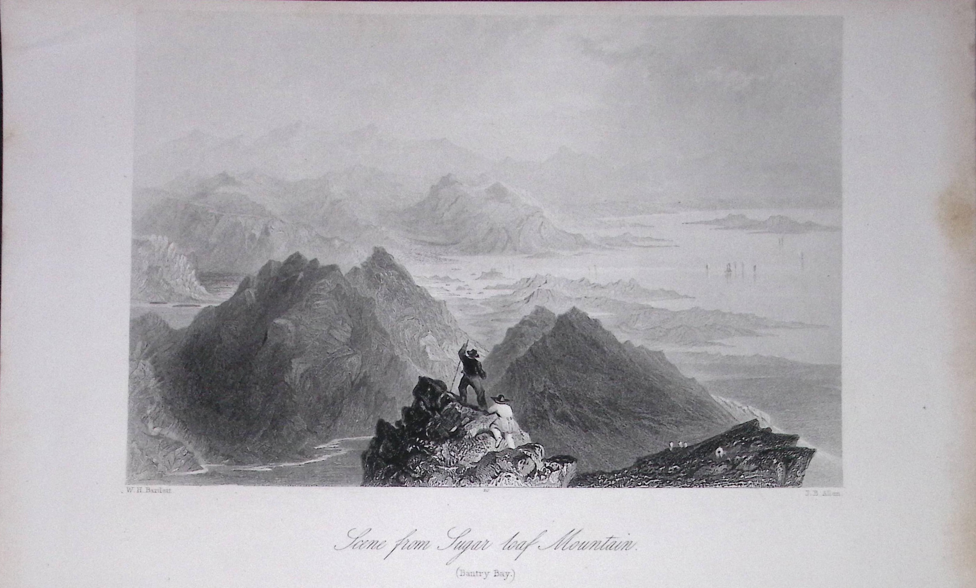
Ireland View of Sugar Loaf Mountain Cork Antique 183 Years-Old Steel-Engraving-5.
Bidding now
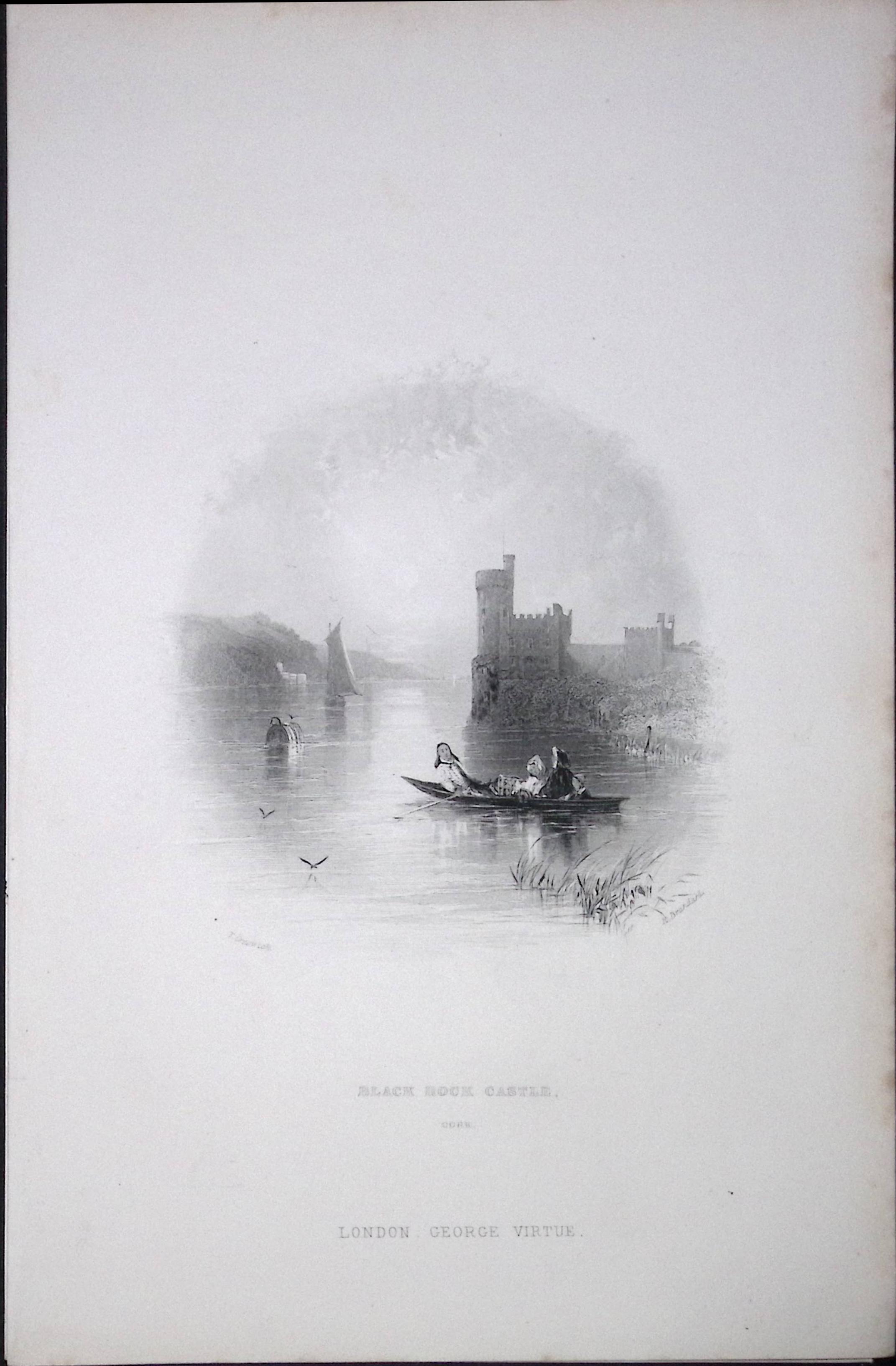
Ireland Black Rock Castle Cork Antique 183 Years-Old Steel-Engraving-8.
Bidding now
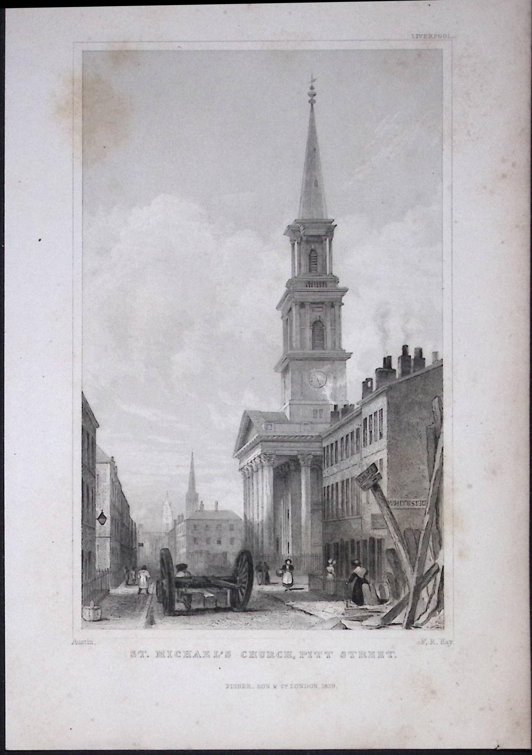
Liverpool St Michaels Church Pitt St Antique 195 Years-Old Steel-Engraving-62
Bidding now
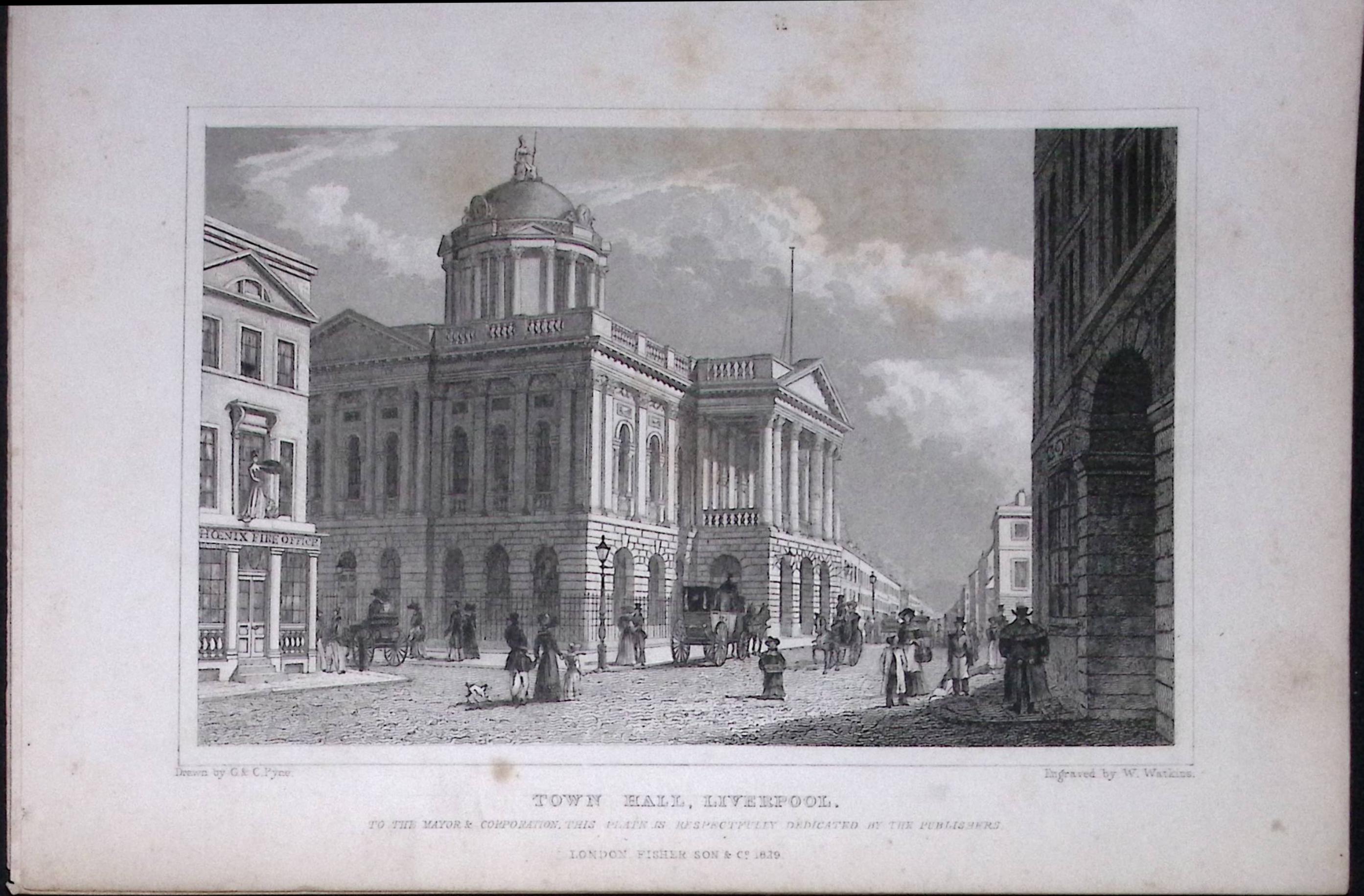
Liverpool Town Hall Antique 195 Years-Old Steel-Engraving-28
Bidding now