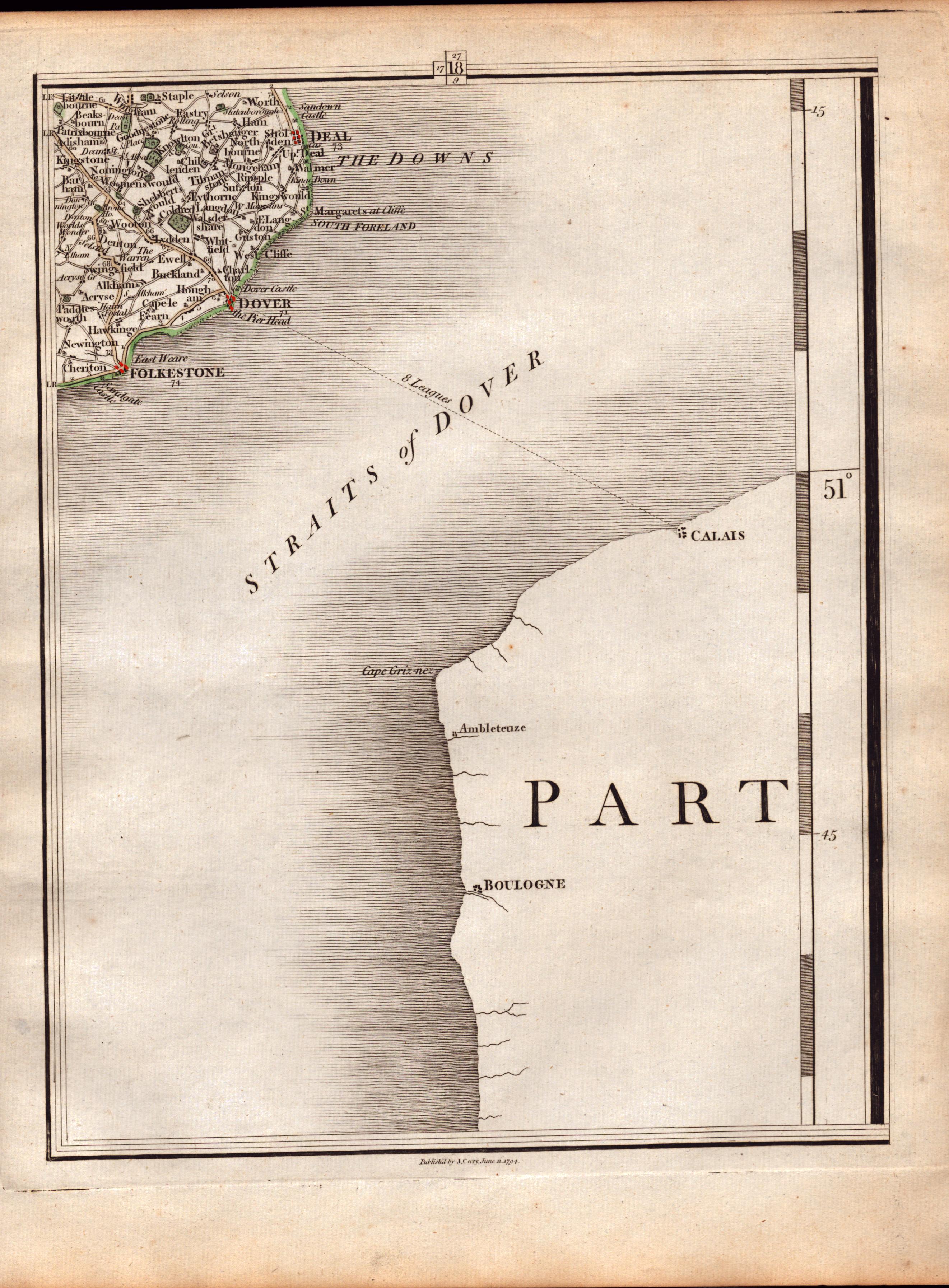
Dover Straits Channel Ports Calais John Cary's Antique 1794 Map-18.
Collectables
Sold for
£12.00
Sold 4 Apr 2024 · No Reserve Antique Maps & Prints, Bound Newspapers, Coin Sets, Metal Wall Art, & Unique Collectables | Features Irish History, Zulu Rorke’s Drift 1879, Cecil Aldin Dogs
This lot has ended. See current lots below.
More Collectables you can bid on now
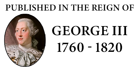
West Indies & Central America Double Sided Victorian Antique 1896 Map.
Bidding now

USA Southern States Double Sided Victorian Antique 1896 Map.
Bidding now
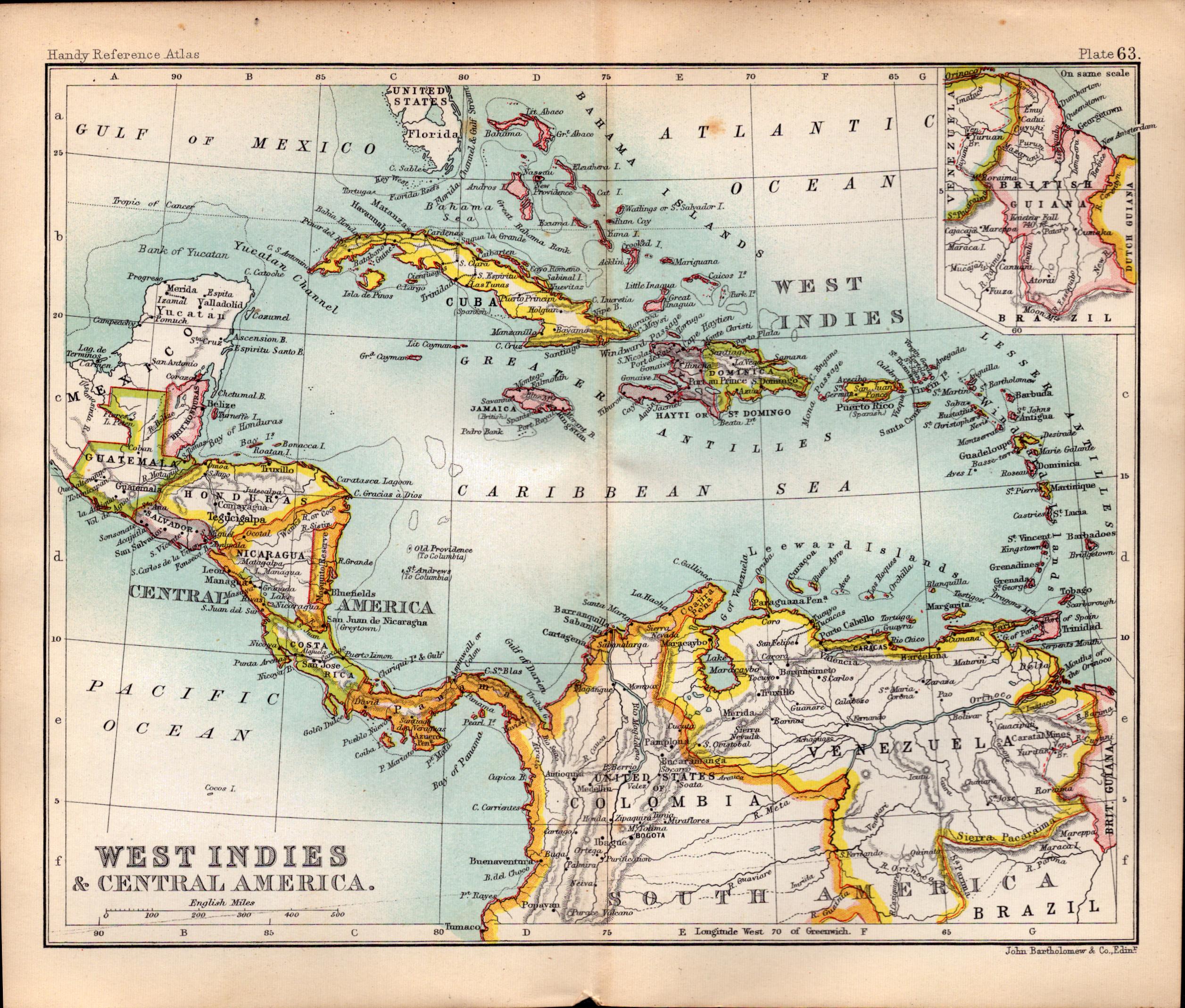
Ireland Youghal Church Cork Antique 183 Years-Old Steel-Engraving-
Bidding now
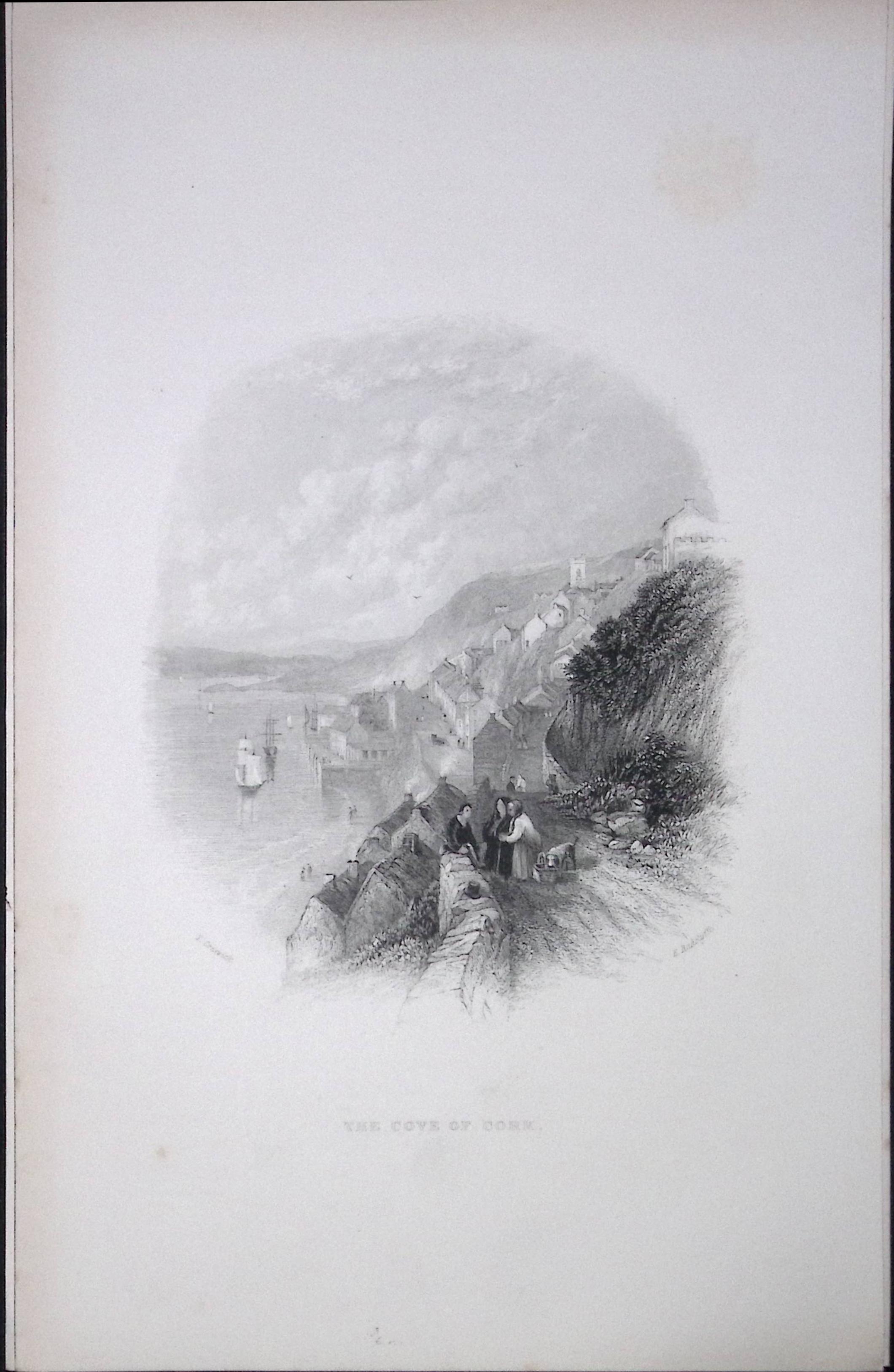
Ireland View of The Cove of Cork Antique 183 Years-Old Steel-Engraving-7
Bidding now
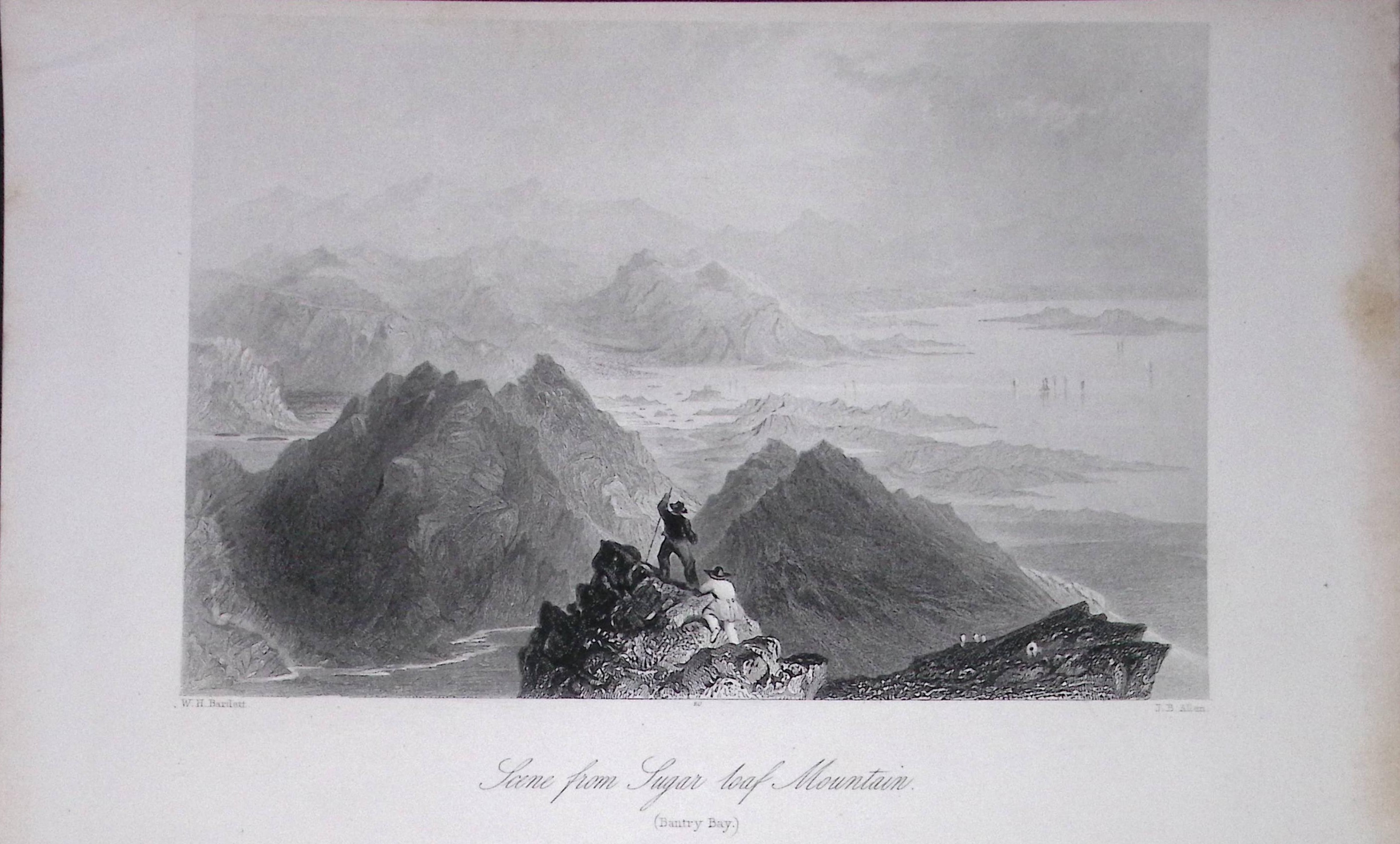
Ireland View of Sugar Loaf Mountain Cork Antique 183 Years-Old Steel-Engraving-5.
Bidding now
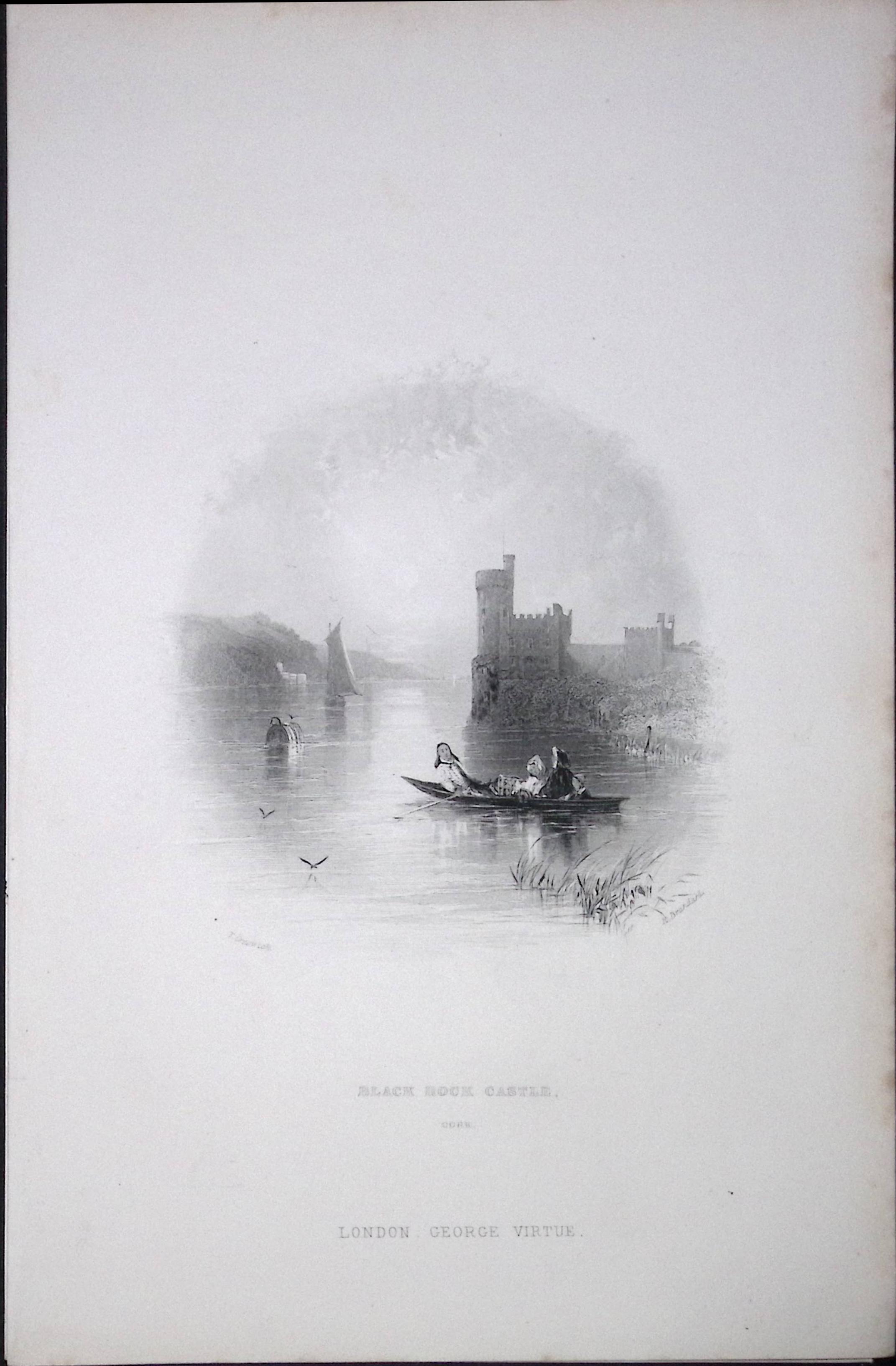
Ireland Black Rock Castle Cork Antique 183 Years-Old Steel-Engraving-8.
Bidding now
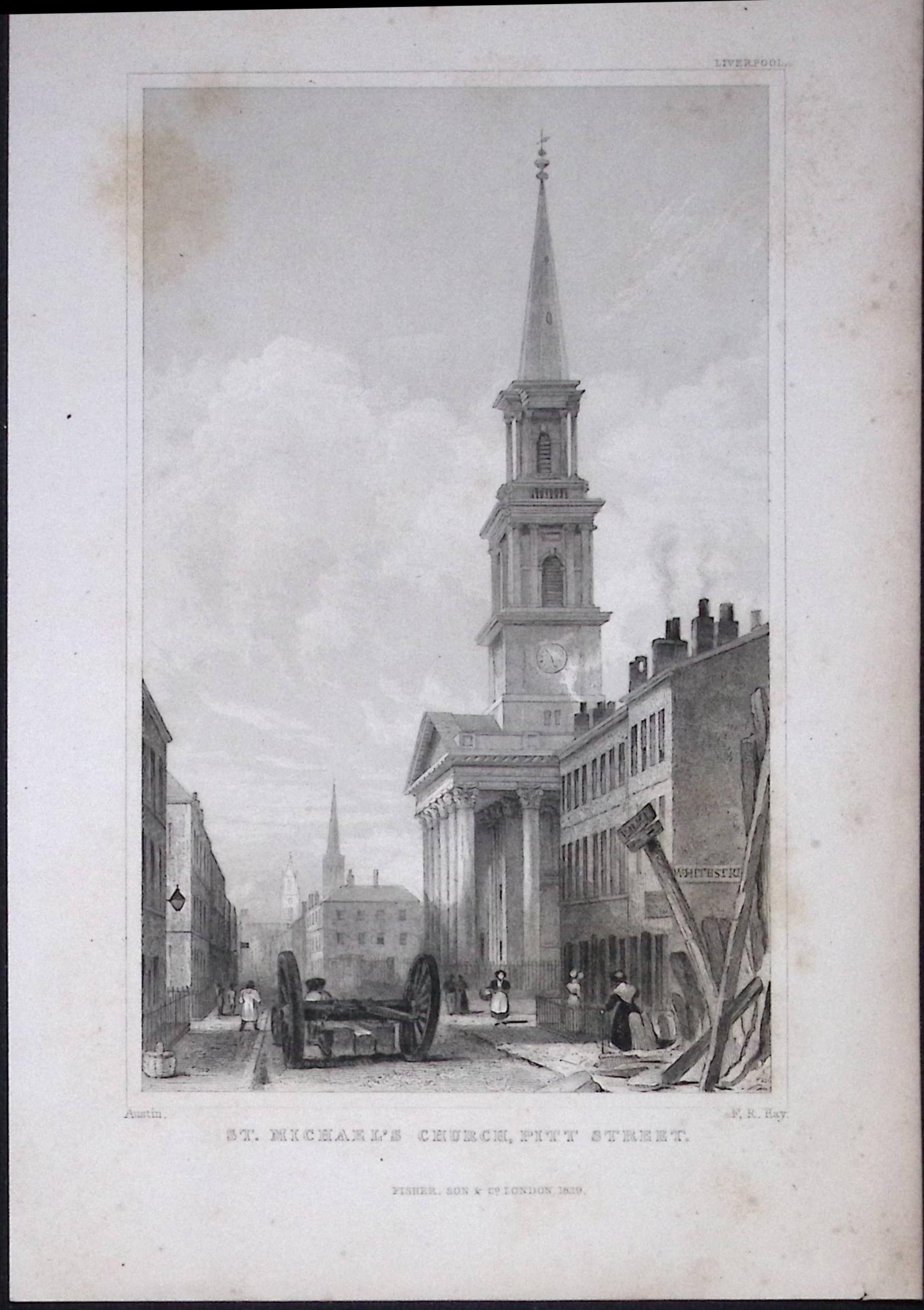
Liverpool St Michaels Church Pitt St Antique 195 Years-Old Steel-Engraving-62
Bidding now
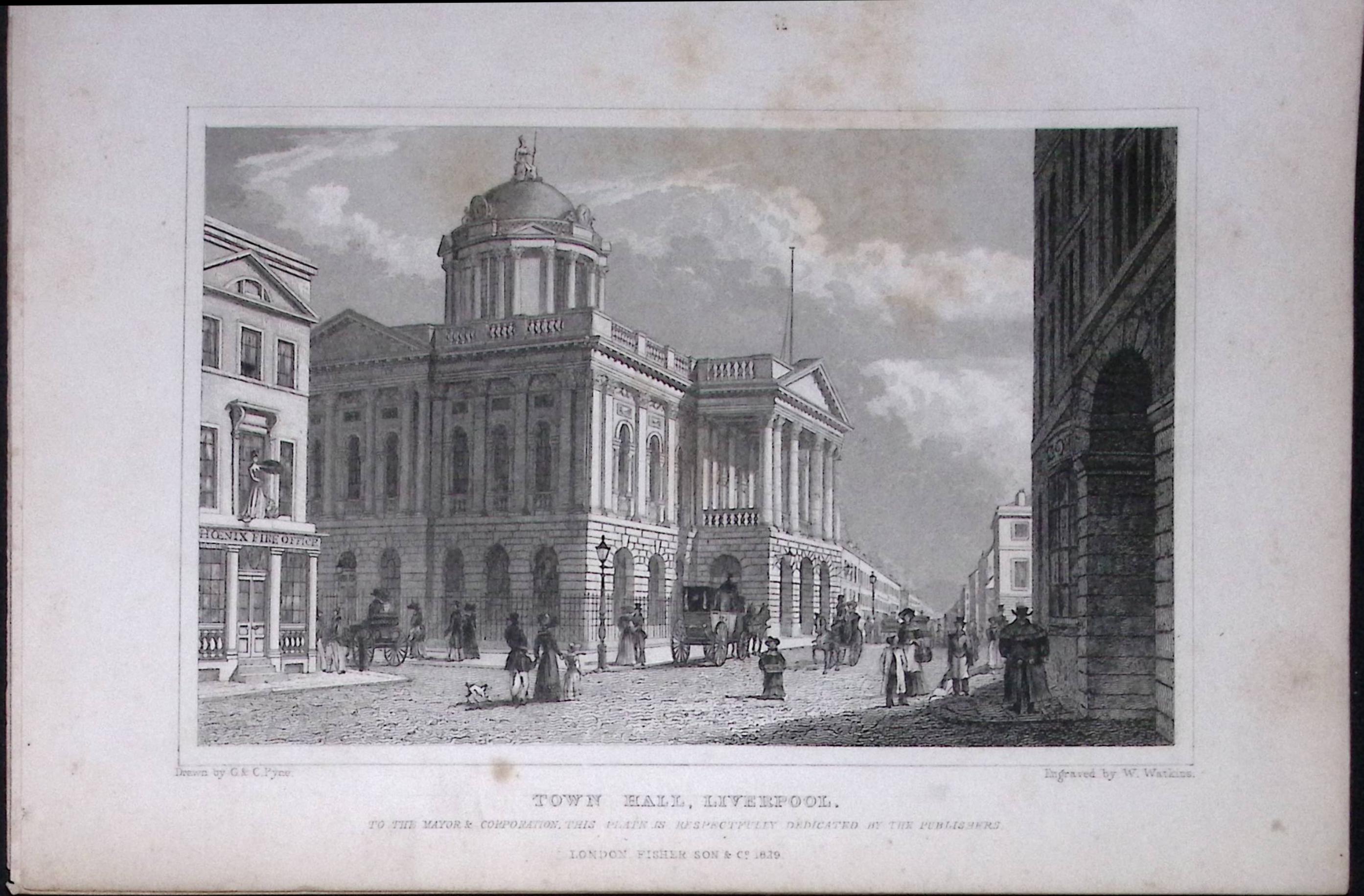
Liverpool Town Hall Antique 195 Years-Old Steel-Engraving-28
Bidding now